Belo sur Tsiribihina night lights from space
Night Light of Belo sur Tsiribihina (Menabe) from space (Madagascar) Src. Average luminocity for 10x10km area is 0.5145% and for 50x50km: 0.0202%.
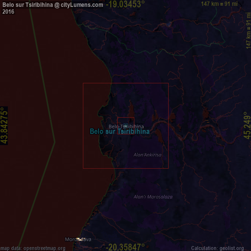
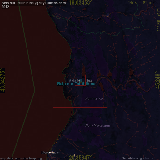
Analysis of Belo sur Tsiribihina night lights 2016
Square area 10x10 km:
 0%
0%90-99
0%80-89
0%70-79
0%60-69
0%50-59
0%40-49
0%30-39
0%20-29
1.65%10-19
0%0-9
98.35%Square area 50x50 km:
0%90-99
0%80-89
0%70-79
0%60-69
0%50-59
0%40-49
0%30-39
0%20-29
0.06%10-19
0%0-9
99.94%Clear (daylight) street map image can be seen on geolist.org.
Map coordinates:
19° 2' 4.3" South, 43° 50' 33.9" East
19° 41' 52.3" South, 44° 32' 45.1" East
20° 21' 30.5" South, 45° 14' 56.4" East
Some cities around Belo sur Tsiribihina sort by population:
• Soavinandriana
236.8 km =147.1 mi,  75°
75°
• Morondava
69.9 km =43.4 mi,  199°
199°
• Betafo
241.6 km =150.1 mi,  93°
93°
• Tsiroanomandidy
188.3 km =117 mi,  56°
56°
• Miandrarivo
232.8 km =144.7 mi, 82°
• Miandrivazo
97.1 km =60.3 mi, 78°
• Beroroha
228.2 km =141.8 mi,  163°
163°
• Maintirano
189.7 km =117.9 mi,  343°
343°
1067531 (p: 23,900)
Sources (retrieved 2019-11-25):
» Earth at Night: Flat Maps 2012, 2016