Maintirano night lights from space
Night Light of Maintirano (Melaky) from space (Madagascar) Src. Average luminocity for 10x10km area is 0.8636% and for 50x50km: 0.0327%.
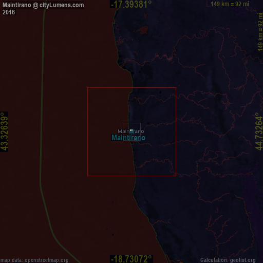
Analysis of Maintirano night lights 2016
Square area 10x10 km:
 0%
0%90-99
0%80-89
0%70-79
0%60-69
0%50-59
0.87%40-49
0%30-39
0.87%20-29
0%10-19
0%0-9
98.27%Square area 50x50 km:
0%90-99
0%80-89
0%70-79
0%60-69
0%50-59
0.03%40-49
0%30-39
0.03%20-29
0%10-19
0%0-9
99.93%Clear (daylight) street map image can be seen on geolist.org.
Map coordinates:
17° 23' 37.7" South, 43° 19' 35" East
18° 3' 48.7" South, 44° 1' 46.2" East
18° 43' 50.6" South, 44° 43' 57.5" East
Some cities around Maintirano sort by population:
• Soavinandriana
310.2 km =192.7 mi,  113°
113°
• Morondava
249.3 km =154.9 mi,  173°
173°
• Tsiroanomandidy
226.8 km =140.9 mi, 110°
• Belo sur Tsiribihina
189.7 km =117.9 mi,  163°
163°
• Sitampiky
269.1 km =167.2 mi,  54°
54°
• Miandrivazo
221.5 km =137.6 mi,  137°
137°
• Fenoarivo Be
271.1 km =168.5 mi,  98°
98°
• Mahabe
176 km =109.4 mi, 51°
1061912 (p: 16,000)
Sources (retrieved 2019-11-25):
» Earth at Night: Flat Maps 2012, 2016