Soavinandriana night lights from space
Night Light of Soavinandriana (Itasy) from space (Madagascar) Src. Average luminocity for 10x10km area is 0.2468% and for 50x50km: 0.0466%.

Analysis of Soavinandriana night lights 2016
Square area 10x10 km:
 0%
0%90-99
0%80-89
0%70-79
0%60-69
0%50-59
0%40-49
0%30-39
0%20-29
0.87%10-19
0%0-9
99.13%Square area 50x50 km:
0%90-99
0%80-89
0%70-79
0%60-69
0%50-59
0%40-49
0%30-39
0.1%20-29
0.03%10-19
0%0-9
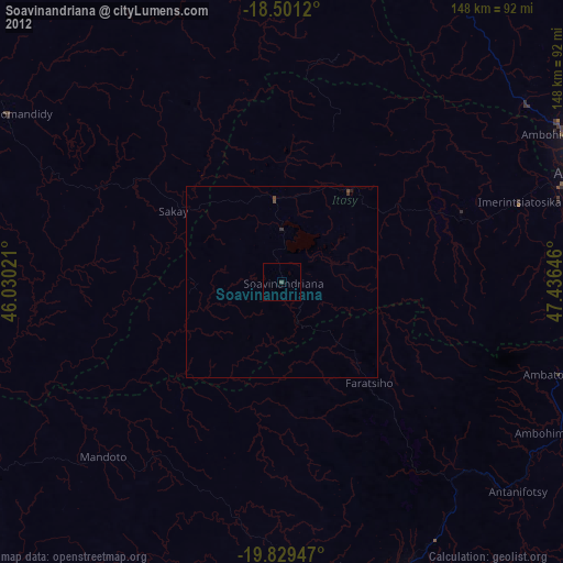
99.87%Clear (daylight) street map image can be seen on geolist.org.
Map coordinates:
18° 30' 4.3" South, 46° 1' 48.8" East
19° 10' 0" South, 46° 43' 60" East
19° 49' 46.1" South, 47° 26' 11.3" East
Some cities around Soavinandriana sort by population:
• Antanifotsy
81.4 km =50.6 mi,  131°
131°
• Faratsiho
34.5 km =21.4 mi,  138°
138°
• Betafo
75.1 km =46.7 mi,  170°
170°
• Ambatolampy
75.7 km =47 mi,  108°
108°
• Miandrarivo
29.7 km =18.5 mi,  176°
176°
• Arivonimamo
50.1 km =31.1 mi,  70°
70°
• Fenoarivo Be
83.4 km =51.8 mi,  347°
347°
• Miarinarivo
29.4 km =18.3 mi,  38°
38°
1056151 (p: 40,453)
Sources (retrieved 2019-11-25):
» Earth at Night: Flat Maps 2012, 2016