Miandrivazo night lights from space
Night Light of Miandrivazo (Menabe) from space (Madagascar) Src. Average luminocity for 10x10km area is 0.626% and for 50x50km: 0.0246%.

Analysis of Miandrivazo night lights 2016
Square area 10x10 km:
 0%
0%90-99
0%80-89
0%70-79
0%60-69
0%50-59
0%40-49
0%30-39
1.65%20-29
0%10-19
0%0-9
98.35%Square area 50x50 km:
0%90-99
0%80-89
0%70-79
0%60-69
0%50-59
0%40-49
0%30-39
0.06%20-29
0%10-19
0%0-9
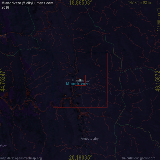
99.94%Clear (daylight) street map image can be seen on geolist.org.
Map coordinates:
18° 51' 54.1" South, 44° 45' 8.9" East
19° 31' 44.6" South, 45° 27' 20.1" East
20° 11' 25.3" South, 46° 9' 31.4" East
Some cities around Miandrivazo sort by population:
• Soavinandriana
140 km =87 mi,  73°
73°
• Faratsiho
157.3 km =97.7 mi,  84°
84°
• Morondava
145.9 km =90.7 mi,  234°
234°
• Betafo
149.9 km =93.1 mi,  103°
103°
• Tsiroanomandidy
104.8 km =65.1 mi,  36°
36°
• Belo sur Tsiribihina
97.1 km =60.3 mi,  258°
258°
• Fenoarivo Be
168.8 km =104.9 mi, 43°
• Miarinarivo
164.9 km =102.5 mi, 67°
1059051 (p: 20,631)
Sources (retrieved 2019-11-25):
» Earth at Night: Flat Maps 2012, 2016