Betafo night lights from space
Night Light of Betafo (Vakinankaratra) from space (Madagascar) Src. Average luminocity for 10x10km area is 0% and for 50x50km: 0.4975%.
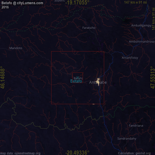
Analysis of Betafo night lights 2016
Square area 10x10 km:
 0%
0%90-99
0%80-89
0%70-79
0%60-69
0%50-59
0%40-49
0%30-39
0%20-29
0%10-19
0%0-9
100%Square area 50x50 km:
0%90-99
0.02%80-89
0.18%70-79
0.07%60-69
0.06%50-59
0.07%40-49
0.07%30-39
0.16%20-29
0.03%10-19
0.04%0-9
99.3%Clear (daylight) street map image can be seen on geolist.org.
Map coordinates:
19° 10' 14" South, 46° 8' 48.8" East
19° 49' 60" South, 46° 51' 0" East
20° 29' 36.1" South, 47° 33' 11.3" East
Some cities around Betafo sort by population:
• Antsirabe
19.5 km =12.1 mi,  100°
100°
• Antanifotsy
52.9 km =32.9 mi,  67°
67°
• Soavinandriana
75.1 km =46.7 mi,  350°
350°
• Faratsiho
49.3 km =30.6 mi,  12°
12°
• Fandriana
71.3 km =44.3 mi,  128°
128°
• Ambatolampy
77.6 km =48.2 mi,  49°
49°
• Miandrarivo
45.7 km =28.4 mi, 346°
• Soanindrariny
40.8 km =25.4 mi, 100°
1066514 (p: 29,785)
Sources (retrieved 2019-11-25):
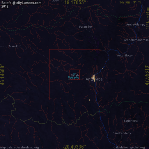
» Earth at Night: Flat Maps 2012, 2016