Rîbniţa night lights from space
Night Light of Rîbniţa (Transnistria) from space (Moldova) Src. Average luminocity for 10x10km area is 11.2128% and for 50x50km: 0.4626%.
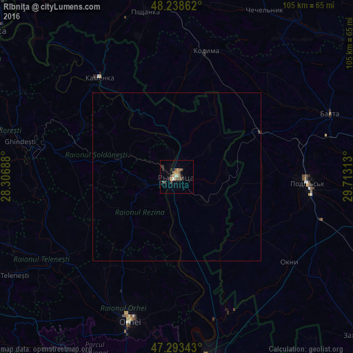
Analysis of Rîbniţa night lights 2016
Square area 10x10 km:
 0.74%
0.74%90-99
0.45%80-89
1.04%70-79
2.23%60-69
1.79%50-59
1.79%40-49
3.72%30-39
1.79%20-29
3.13%10-19
1.19%0-9
82.14%Square area 50x50 km:
0.03%90-99
0.02%80-89
0.04%70-79
0.09%60-69
0.07%50-59
0.07%40-49
0.15%30-39
0.09%20-29
0.12%10-19
0.05%0-9
99.28%Clear (daylight) street map image can be seen on geolist.org.
Map coordinates:
48° 14' 19" North, 28° 18' 24.8" East
47° 46' 5.4" North, 29° 0' 36" East
47° 17' 36.3" North, 29° 42' 47.3" East
Some cities around Rîbniţa sort by population:
• Podil’s’k, UA
39.1 km =24.3 mi,  92°
92°
• Orhei
44.8 km =27.8 mi,  198°
198°
• Balta, UA
49.2 km =30.6 mi,  67°
67°
• Camenca
37.4 km =23.2 mi,  321°
321°
• Rezina
3.9 km =2.4 mi,  237°
237°
• Kodyma, UA
37.7 km =23.4 mi,  13°
13°
• Şoldăneşti
16.8 km =10.4 mi,  288°
288°
• Okny, UA
42.2 km =26.2 mi,  126°
126°
617486 (p: 55,455)
Sources (retrieved 2019-11-25):
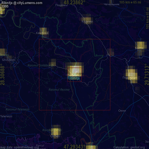
» NASA, Earths city lights 1995
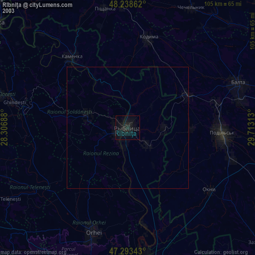
» NASA city lights 2003
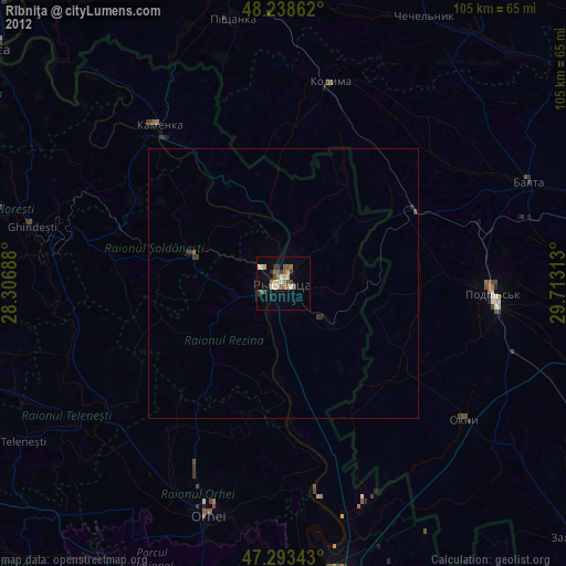
» Earth at Night: Flat Maps 2012, 2016