Floreşti night lights from space
Night Light of Floreşti from space (Moldova) Src. Average luminocity for 10x10km area is 0.4886% and for 50x50km: 0.0593%.
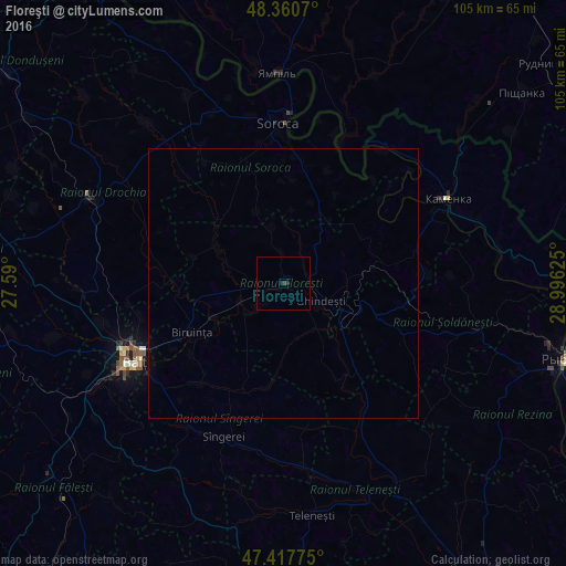
Analysis of Floreşti night lights 2016
Square area 10x10 km:
 0%
0%90-99
0%80-89
0%70-79
0%60-69
0%50-59
0%40-49
0%30-39
0.57%20-29
1.14%10-19
0%0-9
98.3%Square area 50x50 km:
0%90-99
0%80-89
0%70-79
0%60-69
0%50-59
0%40-49
0%30-39
0.02%20-29
0.05%10-19
0.03%0-9
99.89%Clear (daylight) street map image can be seen on geolist.org.
Map coordinates:
48° 21' 38.5" North, 27° 35' 24" East
47° 53' 28.9" North, 28° 17' 35.2" East
47° 25' 3.9" North, 28° 59' 46.5" East
Some cities around Floreşti sort by population:
• Bălţi
30.7 km =19.1 mi,  242°
242°
• Soroca
29.5 km =18.3 mi,  358°
358°
• Drochia
39.2 km =24.4 mi,  294°
294°
• Bilicenii Vechi
32 km =19.9 mi,  215°
215°
• Sîngerei
30.5 km =19 mi,  201°
201°
• Camenca
34 km =21.1 mi,  62°
62°
• Mîndreşti
42.9 km =26.7 mi,  181°
181°
• Şoldăneşti
38.5 km =23.9 mi,  102°
102°
618329 (p: 16,759)
Sources (retrieved 2019-11-25):
» Earth at Night: Flat Maps 2012, 2016