Mhamid night lights from space
Night Light of Mhamid (Drâa-Tafilalet) from space (Morocco) Src. Average luminocity for 10x10km area is 1.1627% and for 50x50km: 0.0635%.
Analysis of Mhamid night lights 2016
Square area 10x10 km:
 0%
0%90-99
0%80-89
0%70-79
0%60-69
0%50-59
1.59%40-49
0%30-39
0.6%20-29
0.2%10-19
0%0-9
97.62%Square area 50x50 km:
0%90-99
0%80-89
0%70-79
0%60-69
0%50-59
0.06%40-49
0.03%30-39
0.02%20-29
0.01%10-19
0.03%0-9
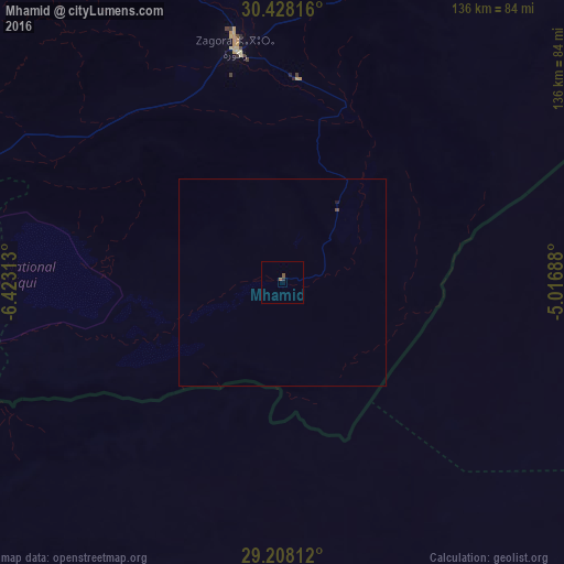
99.85%Clear (daylight) street map image can be seen on geolist.org.
Map coordinates:
30° 25' 41.4" North, 6° 25' 23.3" West
29° 49' 12" North, 5° 43' 12" West
29° 12' 29.2" North, 5° 1' 0.8" West
Some cities around Mhamid sort by population:
• Ouarzazat
166.1 km =103.2 mi,  317°
317°
• Tinghir
189.3 km =117.6 mi,  5°
5°
• Zagora
58.1 km =36.1 mi,  348°
348°
• Arfoud
229.1 km =142.4 mi,  38°
38°
• Setti Fatma
244 km =151.6 mi,  309°
309°
• Reçani
214.1 km =133 mi, 40°
• Kelaat Mgouna
163.4 km =101.5 mi, 346°
• Ifrane
217.7 km =135.3 mi,  343°
343°
2565267 (p: 10,000)
Sources (retrieved 2019-11-25):
» Earth at Night: Flat Maps 2012, 2016