Zag night lights from space
Night Light of Zag (Guelmim-Oued Noun) from space (Morocco) Src. Average luminocity for 10x10km area is 3.6231% and for 50x50km: 0.1614%.
Analysis of Zag night lights 2016
Square area 10x10 km:
 0%
0%90-99
0%80-89
1.52%70-79
0.76%60-69
0%50-59
0%40-49
1.52%30-39
1.52%20-29
0.76%10-19
0%0-9
93.94%Square area 50x50 km:
0%90-99
0%80-89
0.06%70-79
0.03%60-69
0%50-59
0.03%40-49
0.06%30-39
0.06%20-29
0.03%10-19
0%0-9
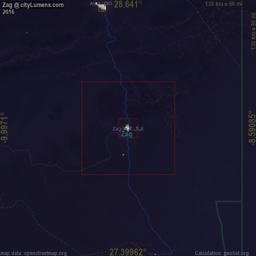
99.73%Clear (daylight) street map image can be seen on geolist.org.
Map coordinates:
28° 38' 27.6" North, 9° 59' 49.6" West
28° 1' 19.6" North, 9° 17' 38.3" West
27° 23' 58.6" North, 8° 35' 27.1" West
Some cities around Zag sort by population:
• Agadir
268.3 km =166.7 mi,  353°
353°
• Guelmim
130.7 km =81.2 mi,  325°
325°
• Oulad Teïma
263.9 km =164 mi,  1°
1°
• Tan-Tan
183.2 km =113.8 mi,  284°
284°
• Dakhla
266.8 km =165.8 mi, 354°
• Tiznit
191.1 km =118.7 mi, 347°
• Tindouf, DZ
119.3 km =74.1 mi,  109°
109°
• Sidi Ifni
173.6 km =107.9 mi, 330°
2526459 (p: 7,751)
Sources (retrieved 2019-11-25):
» Earth at Night: Flat Maps 2012, 2016