Ceuta night lights from space
Night Light of Ceuta from space (Spain) Src. Average luminocity for 10x10km area is 40.1447% and for 50x50km: 6.9447%.
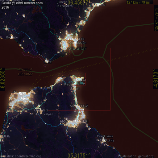
Analysis of Ceuta night lights 2016
Square area 10x10 km:
 8.42%
8.42%90-99
9.34%80-89
4.21%70-79
4.21%60-69
7.69%50-59
2.93%40-49
1.83%30-39
2.75%20-29
11.9%10-19
28.02%0-9
18.68%Square area 50x50 km:
0.84%90-99
0.98%80-89
0.87%70-79
0.7%60-69
1.01%50-59
0.58%40-49
0.5%30-39
0.97%20-29
2.08%10-19
7.96%0-9
83.51%Clear (daylight) street map image can be seen on geolist.org.
Map coordinates:
36° 27' 24.4" North, 6° 1' 24.8" West
35° 53' 21.1" North, 5° 19' 13.5" West
35° 19' 3" North, 4° 37' 2.3" West
Some cities around Ceuta sort by population:
• Tétouan, MA
34.8 km =21.6 mi,  187°
187°
• Algeciras
29.6 km =18.4 mi,  336°
336°
• La Línea de la Concepción
31.1 km =19.3 mi,  355°
355°
• Fnidek, MA
5.6 km =3.5 mi,  216°
216°
• Martil, MA
30.6 km =19 mi,  172°
172°
• Gibraltar, GI
28.6 km =17.8 mi,  354°
354°
• Tarifa
29.3 km =18.2 mi,  298°
298°
• Cap Negro II, MA
25.7 km =16 mi, 172°
6362987 (p: 78,674)
Sources (retrieved 2019-11-25):
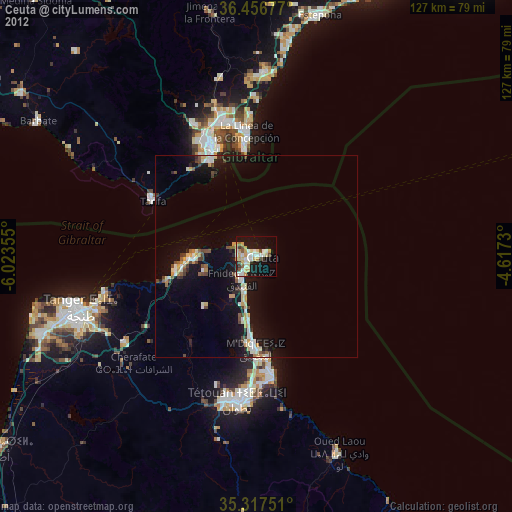
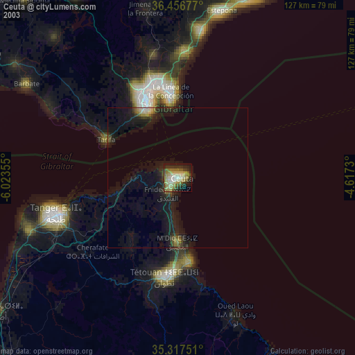
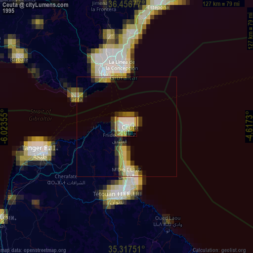
» NASA, Earths city lights 1995
» NASA city lights 2003
» Earth at Night: Flat Maps 2012, 2016