Martil night lights from space
Night Light of Martil (Tanger-Tetouan-Al Hoceima) from space (Morocco) Src. Average luminocity for 10x10km area is 44.1364% and for 50x50km: 8.8084%.
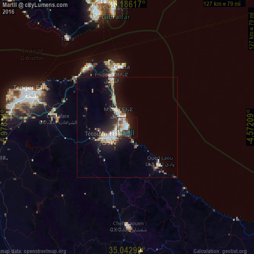
Analysis of Martil night lights 2016
Square area 10x10 km:
 9.44%
9.44%90-99
9.97%80-89
3.32%70-79
3.32%60-69
9.97%50-59
4.2%40-49
6.64%30-39
6.64%20-29
10.14%10-19
17.31%0-9
19.06%Square area 50x50 km:
1.4%90-99
1.48%80-89
1.05%70-79
0.79%60-69
1.26%50-59
0.62%40-49
0.95%30-39
1.53%20-29
2.73%10-19
7.25%0-9
80.95%Clear (daylight) street map image can be seen on geolist.org.
Map coordinates:
36° 11' 10.2" North, 5° 58' 42" West
35° 36' 59.8" North, 5° 16' 30.8" West
35° 2' 34.8" North, 4° 34' 19.5" West
Some cities around Martil sort by population:
• Tangier
50.2 km =31.2 mi,  289°
289°
• Tétouan
9.4 km =5.8 mi,  243°
243°
• Ceuta, ES
30.6 km =19 mi,  352°
352°
• Fnidek
26.9 km =16.7 mi,  343°
343°
• Chefchaouene
49.8 km =30.9 mi,  178°
178°
• Gibraltar, GI
59.1 km =36.7 mi, 353°
• Tarifa, ES
53.3 km =33.1 mi,  325°
325°
• Cap Negro II
4.9 km =3 mi, 349°
2542987 (p: 39,738)
Sources (retrieved 2019-11-25):
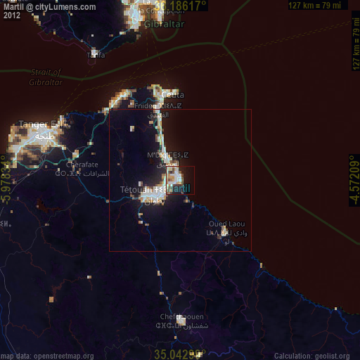
» Earth at Night: Flat Maps 2012, 2016