Taounate night lights from space
Night Light of Taounate (Fès-Meknès) from space (Morocco) Src. Average luminocity for 10x10km area is 13.1399% and for 50x50km: 1.3958%.
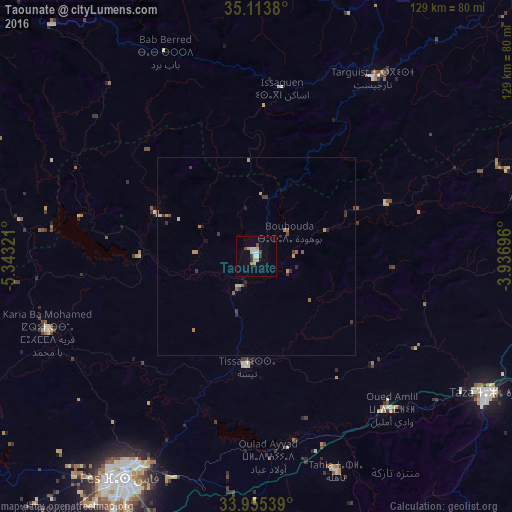
Analysis of Taounate night lights 2016
Square area 10x10 km:
 2.1%
2.1%90-99
2.1%80-89
2.27%70-79
2.62%60-69
0%50-59
0.52%40-49
1.57%30-39
1.4%20-29
0.7%10-19
0.52%0-9
86.19%Square area 50x50 km:
0.11%90-99
0.09%80-89
0.22%70-79
0.28%60-69
0.22%50-59
0.16%40-49
0.14%30-39
0.42%20-29
0.2%10-19
0.13%0-9
98.01%Clear (daylight) street map image can be seen on geolist.org.
Map coordinates:
35° 6' 49.7" North, 5° 20' 35.6" West
34° 32' 11.8" North, 4° 38' 24.3" West
33° 57' 19.4" North, 3° 56' 13.1" West
Some cities around Taounate sort by population:
• Fès
65 km =40.4 mi,  210°
210°
• Fès al Bali
59.4 km =36.9 mi, 209°
• Taza
68.3 km =42.4 mi,  122°
122°
• Sefrou
80.2 km =49.8 mi,  192°
192°
• Ouezzane
90.5 km =56.2 mi,  288°
288°
• Chefchaouene
90.4 km =56.2 mi,  321°
321°
• Tahla
57.7 km =35.9 mi,  159°
159°
• Targuist
53.4 km =33.2 mi,  33°
33°
2530155 (p: 32,802)
Sources (retrieved 2019-11-25):
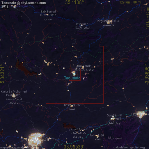
» Earth at Night: Flat Maps 2012, 2016