Barbate night lights from space
Night Light of Barbate (Andalusia) from space (Spain) Src. Average luminocity for 10x10km area is 7.6434% and for 50x50km: 3.6931%.
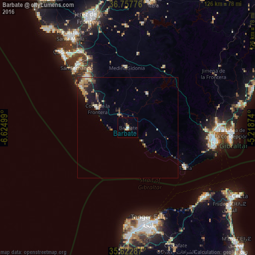
Analysis of Barbate night lights 2016
Square area 10x10 km:
 1.22%
1.22%90-99
0.87%80-89
0.7%70-79
2.1%60-69
0.7%50-59
0%40-49
0%30-39
0%20-29
3.5%10-19
0.7%0-9
90.21%Square area 50x50 km:
0.23%90-99
0.41%80-89
0.53%70-79
0.66%60-69
0.74%50-59
0.36%40-49
0.46%30-39
0.83%20-29
0.82%10-19
2.4%0-9
92.57%Clear (daylight) street map image can be seen on geolist.org.
Map coordinates:
36° 45' 27.9" North, 6° 37' 30" West
36° 11' 32.5" North, 5° 55' 18.7" West
35° 37' 22.3" North, 5° 13' 7.5" West
Some cities around Barbate sort by population:
• Chiclana de la Frontera
32.2 km =20 mi,  321°
321°
• Conil de la Frontera
17.7 km =11 mi,  302°
302°
• Tarifa
34.6 km =21.5 mi,  125°
125°
• Vejer de la Frontera
7.8 km =4.8 mi,  328°
328°
• Medina Sidonia
29.4 km =18.3 mi,  359°
359°
• Benalup-Casas Viejas
19.5 km =12.1 mi,  30°
30°
• Alcalá de los Gazules
34.8 km =21.6 mi, 30°
• Paterna de Rivera
37 km =23 mi,  7°
7°
2521335 (p: 22,912)
Sources (retrieved 2019-11-25):
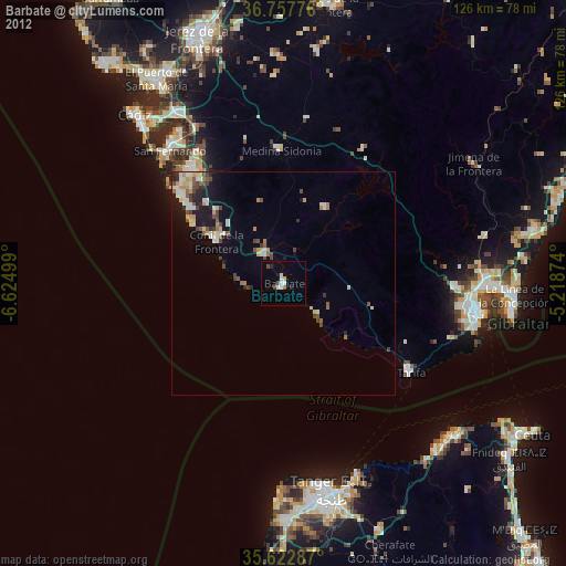
» Earth at Night: Flat Maps 2012, 2016