Sidi Qacem night lights from space
Night Light of Sidi Qacem (Rabat-Salé-Kénitra) from space (Morocco) Src. Average luminocity for 10x10km area is 23.3828% and for 50x50km: 3.0364%.
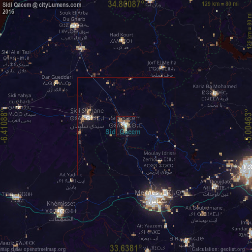
Analysis of Sidi Qacem night lights 2016
Square area 10x10 km:
 3.66%
3.66%90-99
1.83%80-89
4.76%70-79
3.66%60-69
2.75%50-59
2.38%40-49
4.03%30-39
2.93%20-29
0.37%10-19
19.96%0-9
53.66%Square area 50x50 km:
0.28%90-99
0.27%80-89
0.4%70-79
0.36%60-69
0.48%50-59
0.35%40-49
0.59%30-39
0.6%20-29
0.59%10-19
2.15%0-9
93.93%Clear (daylight) street map image can be seen on geolist.org.
Map coordinates:
34° 48' 3.1" North, 6° 24' 39.2" West
34° 13' 17.4" North, 5° 42' 27.9" West
33° 38' 17.2" North, 5° 0' 16.7" West
Some cities around Sidi Qacem sort by population:
• Fès
68.4 km =42.5 mi,  107°
107°
• Meknès
39.3 km =24.4 mi,  157°
157°
• Khemisset
55.2 km =34.3 mi,  216°
216°
• Tiflet
66 km =41 mi,  236°
236°
• Ouezzane
65 km =40.4 mi,  10°
10°
• Souq Larb’a al Gharb
58.4 km =36.3 mi,  332°
332°
• El Hajeb
67 km =41.6 mi,  152°
152°
• Mechraa Bel Ksiri
45.3 km =28.1 mi, 329°
2533191 (p: 74,755)
Sources (retrieved 2019-11-25):
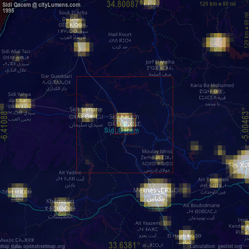
» NASA, Earths city lights 1995
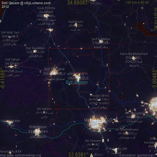
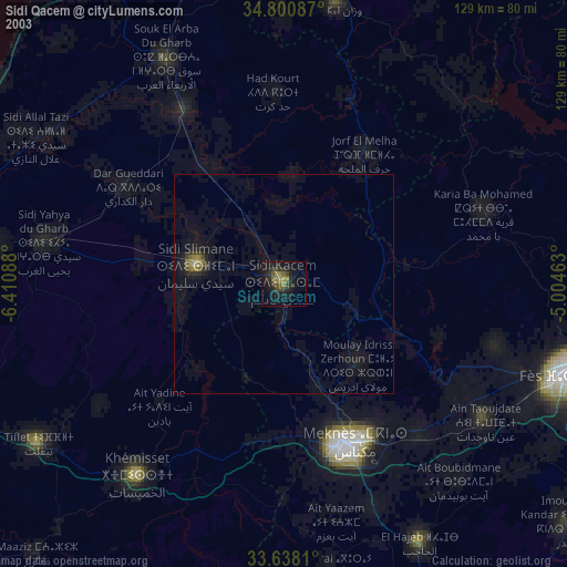
» NASA city lights 2003
» Earth at Night: Flat Maps 2012, 2016