Khouribga night lights from space
Night Light of Khouribga (Béni Mellal-Khénifra) from space (Morocco) Src. Average luminocity for 10x10km area is 44.9231% and for 50x50km: 5.0302%.
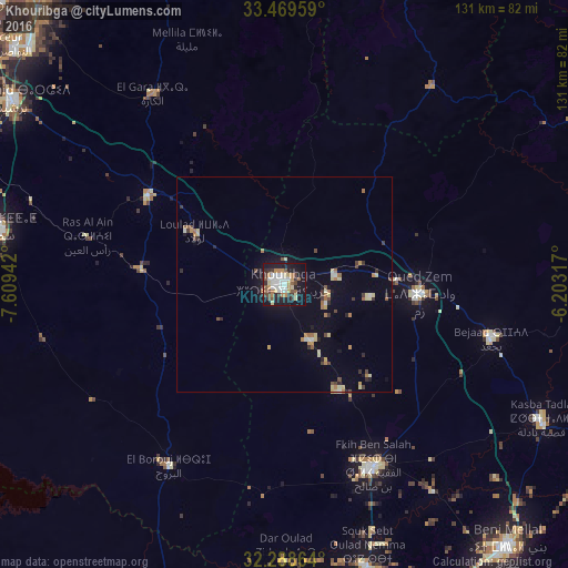
Analysis of Khouribga night lights 2016
Square area 10x10 km:
 10.44%
90-99
7.14%80-89
6.96%70-79
4.03%60-69
5.86%50-59
5.31%40-49
4.58%30-39
7.14%20-29
9.52%10-19
34.07%0-9
4.95%Square area 50x50 km:
0.53%90-99
0.48%80-89
0.91%70-79
0.47%60-69
0.86%50-59
0.47%40-49
0.55%30-39
0.81%20-29
0.78%10-19
2.87%0-9
91.27%Clear (daylight) street map image can be seen on geolist.org.
Map coordinates:
33° 28' 10.5" North, 7° 36' 33.9" West
32° 52' 51.9" North, 6° 54' 22.7" West
32° 17' 19.1" North, 6° 12' 11.4" West
Some cities around Khouribga sort by population:
• Beni Mellal
79.8 km =49.6 mi,  139°
139°
• Settat
67.6 km =42 mi,  281°
281°
• Berrechid
76.5 km =47.5 mi,  303°
303°
• Oued Zem
31.1 km =19.3 mi,  93°
93°
• Al Fqih Ben Çalah
46.8 km =29.1 mi,  154°
154°
• Kasba Tadla
67.5 km =41.9 mi,  117°
117°
• Boujniba
12.5 km =7.8 mi,  80°
80°
• Zawyat an Nwaçer
86.5 km =53.7 mi,  309°
309°
2544248 (p: 167,673)
Sources (retrieved 2019-11-25):
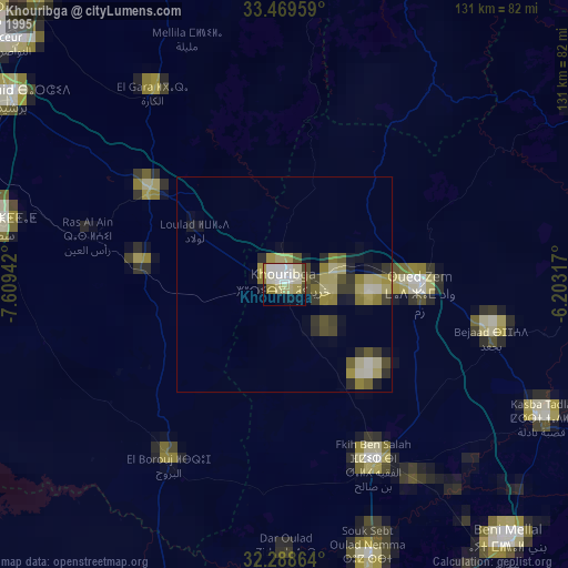
» NASA, Earths city lights 1995
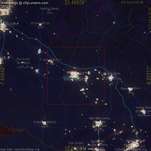
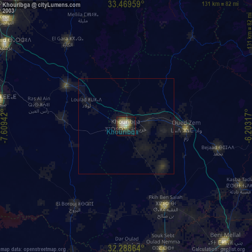
» NASA city lights 2003
» Earth at Night: Flat Maps 2012, 2016