Al Fqih Ben Çalah night lights from space
Night Light of Al Fqih Ben Çalah (Béni Mellal-Khénifra) from space (Morocco) Src. Average luminocity for 10x10km area is 34.0842% and for 50x50km: 5.7327%.
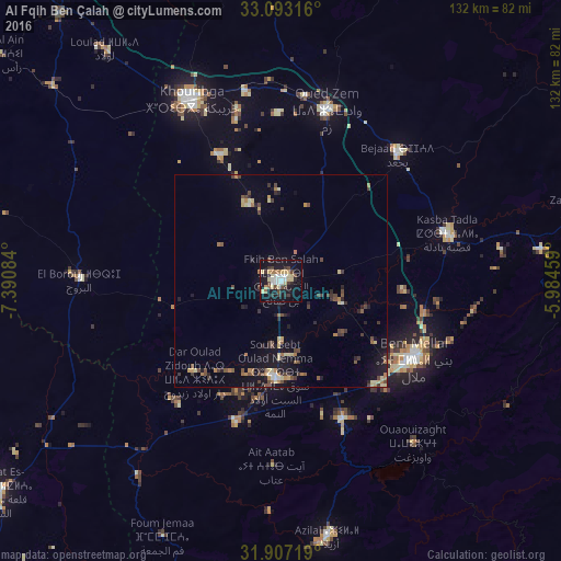
Analysis of Al Fqih Ben Çalah night lights 2016
Square area 10x10 km:
 5.49%
5.49%90-99
4.4%80-89
8.42%70-79
2.56%60-69
3.48%50-59
1.47%40-49
5.68%30-39
6.04%20-29
3.3%10-19
40.66%0-9
18.5%Square area 50x50 km:
0.31%90-99
0.37%80-89
1.09%70-79
0.52%60-69
0.91%50-59
0.59%40-49
1.32%30-39
1.06%20-29
0.97%10-19
5.05%0-9
87.79%Clear (daylight) street map image can be seen on geolist.org.
Map coordinates:
33° 5' 35.4" North, 7° 23' 27" West
32° 30' 7.7" North, 6° 41' 15.8" West
31° 54' 25.9" North, 5° 59' 4.5" West
Some cities around Al Fqih Ben Çalah sort by population:
• Khouribga
46.8 km =29.1 mi,  334°
334°
• Beni Mellal
36.6 km =22.7 mi,  120°
120°
• Settat
103.1 km =64.1 mi,  302°
302°
• Oued Zem
41.5 km =25.8 mi,  14°
14°
• Khenifra
107.4 km =66.7 mi,  63°
63°
• Kasba Tadla
40.7 km =25.3 mi,  74°
74°
• Boujniba
45 km =28 mi,  349°
349°
• Ifrane
94.5 km =58.7 mi,  160°
160°
2548830 (p: 84,072)
Sources (retrieved 2019-11-25):
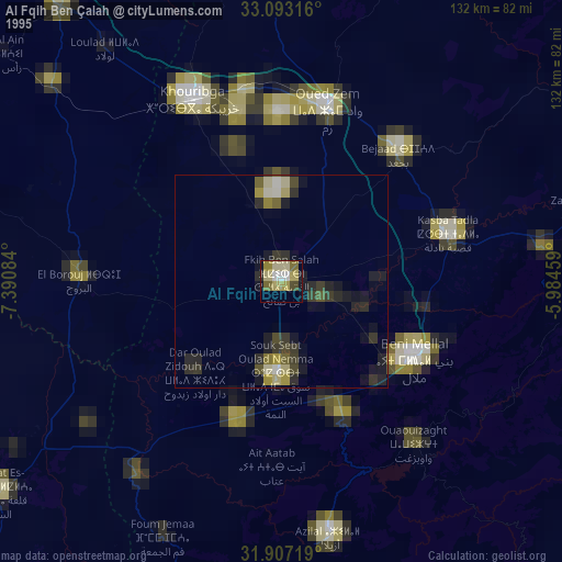
» NASA, Earths city lights 1995
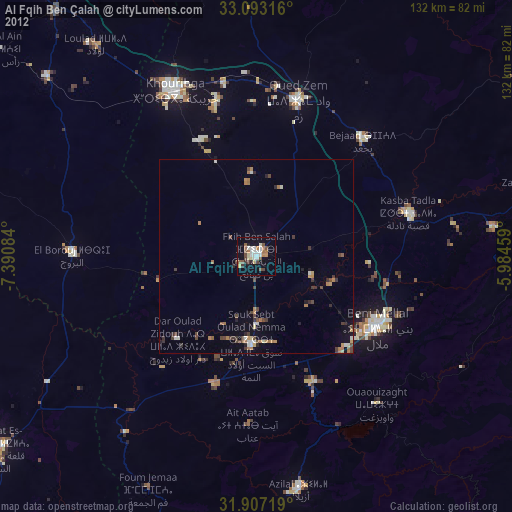
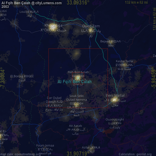
» NASA city lights 2003
» Earth at Night: Flat Maps 2012, 2016