Lentvaris night lights from space
Night Light of Lentvaris (Vilnius) from space (Lithuania) Src. Average luminocity for 10x10km area is 12.1992% and for 50x50km: 8.9345%.
Analysis of Lentvaris night lights 2016
Square area 10x10 km:
 1.38%
1.38%90-99
0.88%80-89
2.76%70-79
2.01%60-69
0%50-59
1.38%40-49
1%30-39
1.13%20-29
0.25%10-19
18.3%0-9
70.93%Square area 50x50 km:
2.19%90-99
1.98%80-89
0.65%70-79
0.83%60-69
0.62%50-59
1.12%40-49
1.03%30-39
1.25%20-29
2.29%10-19
5.07%0-9
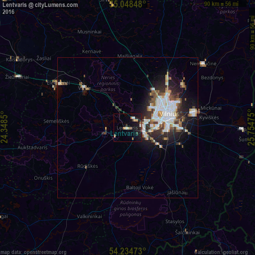
82.98%Clear (daylight) street map image can be seen on geolist.org.
Map coordinates:
55° 2' 54.5" North, 24° 20' 54.6" East
54° 38' 37.1" North, 25° 3' 5.8" East
54° 14' 5" North, 25° 45' 17.1" East
Some cities around Lentvaris sort by population:
• Pašilaičiai
14.7 km =9.1 mi,  46°
46°
• Lazdynai
10.3 km =6.4 mi,  74°
74°
• Justiniškės
13.4 km =8.3 mi, 52°
• Naujamiestis
14.5 km =9 mi, 74°
• Vilkpėdė
12.9 km =8 mi,  77°
77°
• Pilaitė
10.6 km =6.6 mi, 53°
• Grigiškės
4.9 km =3 mi,  24°
24°
• Trakai
7.6 km =4.7 mi,  265°
265°
597532 (p: 11,588)
Sources (retrieved 2019-11-25):
» Earth at Night: Flat Maps 2012, 2016