Voranava night lights from space
Night Light of Voranava (Grodnenskaya) from space (Belarus) Src. Average luminocity for 10x10km area is 0% and for 50x50km: 0.0724%.
Analysis of Voranava night lights 2016
Square area 10x10 km:
 0%
0%90-99
0%80-89
0%70-79
0%60-69
0%50-59
0%40-49
0%30-39
0%20-29
0%10-19
0%0-9
100%Square area 50x50 km:
0%90-99
0.02%80-89
0%70-79
0%60-69
0%50-59
0.03%40-49
0.01%30-39
0.02%20-29
0%10-19
0%0-9
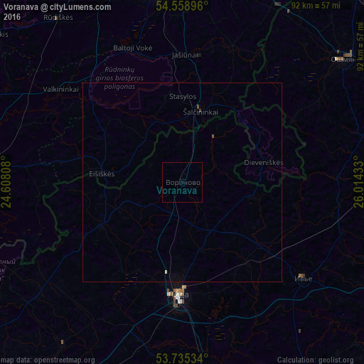
99.92%Clear (daylight) street map image can be seen on geolist.org.
Map coordinates:
54° 33' 32.3" North, 24° 36' 29.1" East
54° 8' 57.1" North, 25° 18' 40.3" East
53° 44' 7.2" North, 26° 0' 51.6" East
Some cities around Voranava sort by population:
• Lida
29.6 km =18.4 mi,  181°
181°
• Vilkpėdė, LT
58 km =36 mi,  355°
355°
• Ashmyany
50.6 km =31.4 mi,  53°
53°
• Byarozawka
48.8 km =30.3 mi,  165°
165°
• Lentvaris, LT
57.5 km =35.7 mi,  343°
343°
• Varėna, LT
48.4 km =30.1 mi,  278°
278°
• Iwye
38.8 km =24.1 mi,  128°
128°
• Šalčininkai, LT
18.4 km =11.4 mi,  15°
15°
619979 (p: 6,500)
Sources (retrieved 2019-11-25):
» Earth at Night: Flat Maps 2012, 2016