Grigiškės night lights from space
Night Light of Grigiškės (Vilnius) from space (Lithuania) Src. Average luminocity for 10x10km area is 18.1729% and for 50x50km: 8.9626%.
Analysis of Grigiškės night lights 2016
Square area 10x10 km:
 3.38%
3.38%90-99
2.63%80-89
2.51%70-79
2.01%60-69
0.5%50-59
1.75%40-49
0.75%30-39
3.51%20-29
5.01%10-19
19.67%0-9
58.27%Square area 50x50 km:
2.19%90-99
1.97%80-89
0.63%70-79
0.83%60-69
0.63%50-59
1.14%40-49
1.06%30-39
1.24%20-29
2.29%10-19
5.04%0-9
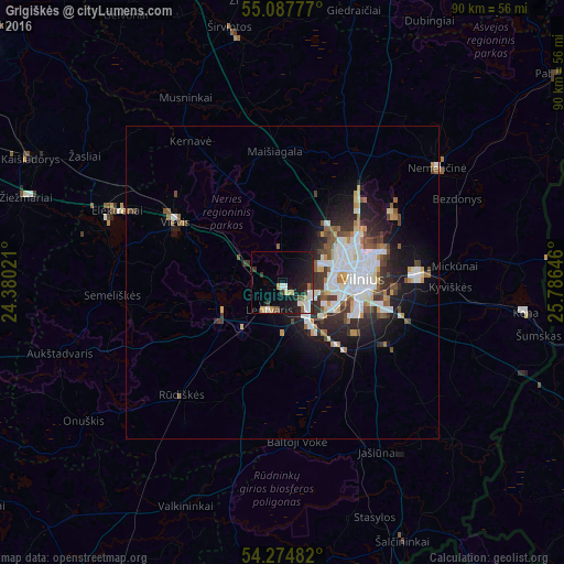
82.97%Clear (daylight) street map image can be seen on geolist.org.
Map coordinates:
55° 5' 16" North, 24° 22' 48.8" East
54° 40' 60" North, 25° 4' 60" East
54° 16' 29.4" North, 25° 47' 11.3" East
Some cities around Grigiškės sort by population:
• Pašilaičiai
10.4 km =6.5 mi,  56°
56°
• Šeškinė
11.1 km =6.9 mi,  74°
74°
• Lazdynai
8.1 km =5 mi,  102°
102°
• Justiniškės
9.4 km =5.8 mi, 66°
• Vilkpėdė
10.7 km =6.6 mi, 98°
• Pilaitė
6.7 km =4.2 mi, 74°
• Lentvaris
4.9 km =3 mi,  204°
204°
• Trakai
10.8 km =6.7 mi,  242°
242°
599161 (p: 11,555)
Sources (retrieved 2019-11-25):
» Earth at Night: Flat Maps 2012, 2016