Šalčininkai night lights from space
Night Light of Šalčininkai (Vilnius) from space (Lithuania) Src. Average luminocity for 10x10km area is 0.4411% and for 50x50km: 0.0371%.
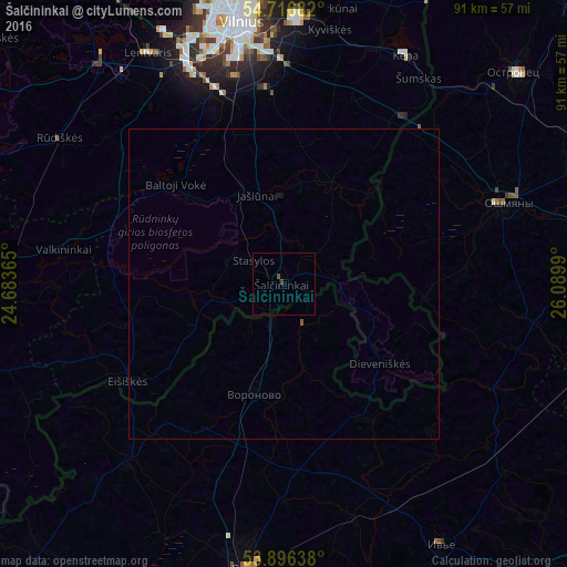
Analysis of Šalčininkai night lights 2016
Square area 10x10 km:
 0%
0%90-99
0%80-89
0%70-79
0%60-69
0%50-59
0.25%40-49
0.25%30-39
0.5%20-29
0%10-19
0%0-9
99%Square area 50x50 km:
0%90-99
0%80-89
0%70-79
0%60-69
0%50-59
0.03%40-49
0.01%30-39
0.02%20-29
0%10-19
0.04%0-9
99.9%Clear (daylight) street map image can be seen on geolist.org.
Map coordinates:
54° 43' 0.6" North, 24° 41' 1.1" East
54° 18' 31.1" North, 25° 23' 12.4" East
53° 53' 47" North, 26° 5' 23.6" East
Some cities around Šalčininkai sort by population:
• Vilnius
42.9 km =26.7 mi,  350°
350°
• Lazdynai
41.6 km =25.8 mi,  343°
343°
• Naujamiestis
41.9 km =26 mi, 349°
• Vilkpėdė
41.1 km =25.5 mi, 347°
• Ashmyany, BY
37.7 km =23.4 mi,  70°
70°
• Lentvaris
43.1 km =26.8 mi,  329°
329°
• Rasos
41.4 km =25.7 mi, 353°
• Voranava, BY
18.4 km =11.4 mi,  195°
195°
595016 (p: 6,891)
Sources (retrieved 2019-11-25):
» Earth at Night: Flat Maps 2012, 2016