Gargždai night lights from space
Night Light of Gargždai (Klaipėda County) from space (Lithuania) Src. Average luminocity for 10x10km area is 4.25% and for 50x50km: 4.3288%.
Analysis of Gargždai night lights 2016
Square area 10x10 km:
 0.72%
0.72%90-99
1.44%80-89
0.24%70-79
0.24%60-69
0.72%50-59
0%40-49
0.96%30-39
0.12%20-29
0.36%10-19
0%0-9
95.22%Square area 50x50 km:
1.18%90-99
1.07%80-89
0.15%70-79
0.27%60-69
0.3%50-59
0.41%40-49
0.48%30-39
0.54%20-29
1.18%10-19
2.56%0-9
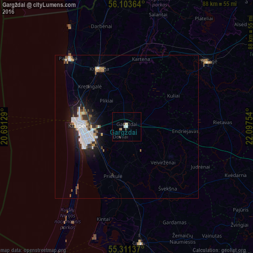
91.87%Clear (daylight) street map image can be seen on geolist.org.
Map coordinates:
56° 6' 13.1" North, 20° 41' 28.6" East
55° 42' 34.2" North, 21° 23' 39.9" East
55° 18' 40.9" North, 22° 5' 51.1" East
Some cities around Gargždai sort by population:
• Klaipėda
16 km =9.9 mi,  268°
268°
• Telsiai
61.2 km =38 mi,  60°
60°
• Plunge
36 km =22.4 mi,  51°
51°
• Kretinga
22 km =13.7 mi,  334°
334°
• Silute
40.5 km =25.2 mi,  172°
172°
• Palanga
30.8 km =19.1 mi,  318°
318°
• Šilalė
55.5 km =34.5 mi,  116°
116°
• Rucava, LV
52.5 km =32.6 mi,  343°
343°
599506 (p: 16,433)
Sources (retrieved 2019-11-25):
» Earth at Night: Flat Maps 2012, 2016