Klaipėda night lights from space
Night Light of Klaipėda (Klaipėda County) from space (Lithuania) Src. Average luminocity for 10x10km area is 57.8768% and for 50x50km: 4.3111%.
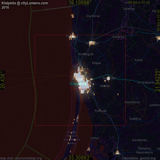
Analysis of Klaipėda night lights 2016
Square area 10x10 km:
 22.25%
90-99
19.62%80-89
2.15%70-79
3.11%60-69
0.48%50-59
2.99%40-49
3.11%30-39
8.25%20-29
14.59%10-19
15.07%0-9
8.37%Square area 50x50 km:
1.18%90-99
1.07%80-89
0.15%70-79
0.27%60-69
0.29%50-59
0.4%40-49
0.48%30-39
0.54%20-29
1.18%10-19
2.56%0-9
91.89%Clear (daylight) street map image can be seen on geolist.org.
Map coordinates:
56° 6' 3.5" North, 20° 26' 9.6" East
55° 42' 24.5" North, 21° 8' 20.8" East
55° 18' 31.1" North, 21° 50' 32.1" East
Some cities around Klaipėda sort by population:
• Plunge
49.6 km =30.8 mi,  62°
62°
• Kretinga
21.3 km =13.2 mi,  18°
18°
• Silute
45.3 km =28.1 mi,  151°
151°
• Palanga
23.8 km =14.8 mi,  349°
349°
• Gargždai
16 km =9.9 mi,  88°
88°
• Skuodas
67.3 km =41.8 mi, 21°
• Šilalė
70.1 km =43.6 mi,  110°
110°
• Rucava, LV
50.8 km =31.6 mi,  1°
1°
598098 (p: 192,307)
Sources (retrieved 2019-11-25):
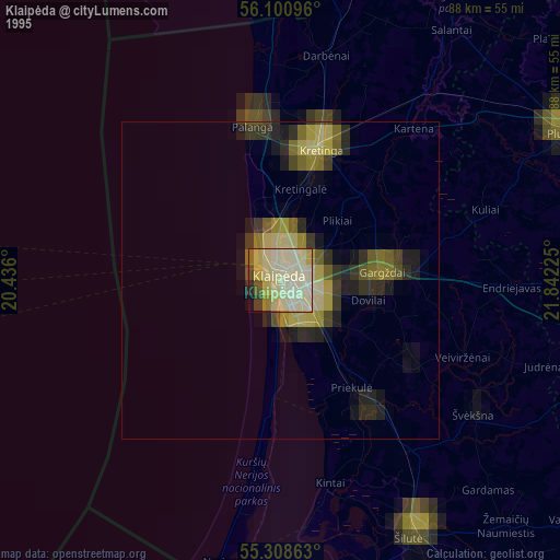
» NASA, Earths city lights 1995
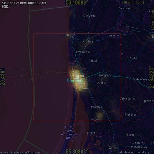
» NASA city lights 2003
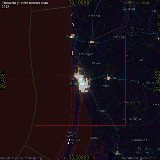
» Earth at Night: Flat Maps 2012, 2016