Kretinga night lights from space
Night Light of Kretinga (Klaipėda County) from space (Lithuania) Src. Average luminocity for 10x10km area is 5.7306% and for 50x50km: 3.6686%.
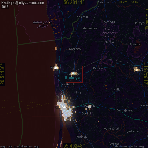
Analysis of Kretinga night lights 2016
Square area 10x10 km:
 0.63%
0.63%90-99
0.38%80-89
0%70-79
1.5%60-69
1.63%50-59
2.13%40-49
0.25%30-39
0.25%20-29
0.25%10-19
0.5%0-9
92.48%Square area 50x50 km:
1.03%90-99
0.94%80-89
0.15%70-79
0.24%60-69
0.3%50-59
0.35%40-49
0.39%30-39
0.43%20-29
0.81%10-19
1.7%0-9
93.66%Clear (daylight) street map image can be seen on geolist.org.
Map coordinates:
56° 16' 52" North, 20° 32' 28.9" East
55° 53' 19.7" North, 21° 14' 40.1" East
55° 29' 32.9" North, 21° 56' 51.4" East
Some cities around Kretinga sort by population:
• Klaipėda
21.3 km =13.2 mi,  198°
198°
• Plunge
37.5 km =23.3 mi,  86°
86°
• Silute
61.9 km =38.5 mi,  165°
165°
• Palanga
11.4 km =7.1 mi,  286°
286°
• Gargždai
22 km =13.7 mi,  154°
154°
• Skuodas
46 km =28.6 mi,  22°
22°
• Rucava, LV
30.9 km =19.2 mi,  350°
350°
• Nīca, LV
52.1 km =32.4 mi, 347°
597989 (p: 22,236)
Sources (retrieved 2019-11-25):
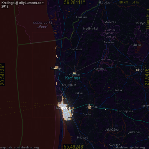
» Earth at Night: Flat Maps 2012, 2016