Silute night lights from space
Night Light of Silute (Klaipėda County) from space (Lithuania) Src. Average luminocity for 10x10km area is 2.5156% and for 50x50km: 0.2405%.
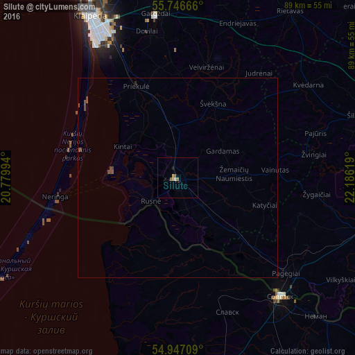
Analysis of Silute night lights 2016
Square area 10x10 km:
 0.36%
0.36%90-99
0.12%80-89
0.84%70-79
0.12%60-69
0.72%50-59
0.72%40-49
0%30-39
0%20-29
0.12%10-19
0.36%0-9
96.65%Square area 50x50 km:
0.01%90-99
0%80-89
0.03%70-79
0%60-69
0.03%50-59
0.08%40-49
0.2%30-39
0%20-29
0.02%10-19
0.01%0-9
99.59%Clear (daylight) street map image can be seen on geolist.org.
Map coordinates:
55° 44' 48" North, 20° 46' 47.8" East
55° 20' 56" North, 21° 28' 59" East
54° 56' 49.5" North, 22° 11' 10.3" East
Some cities around Silute sort by population:
• Klaipėda
45.3 km =28.1 mi,  331°
331°
• Sovetsk, RU
38.7 km =24 mi,  139°
139°
• Taurage
52.2 km =32.4 mi,  101°
101°
• Gargždai
40.5 km =25.2 mi,  352°
352°
• Neman, RU
49.4 km =30.7 mi, 135°
• Polessk, RU
59.3 km =36.8 mi,  204°
204°
• Šilalė
47.1 km =29.3 mi,  70°
70°
• Slavsk, RU
36.2 km =22.5 mi,  160°
160°
594656 (p: 21,760)
Sources (retrieved 2019-11-25):
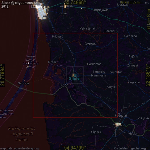
» Earth at Night: Flat Maps 2012, 2016