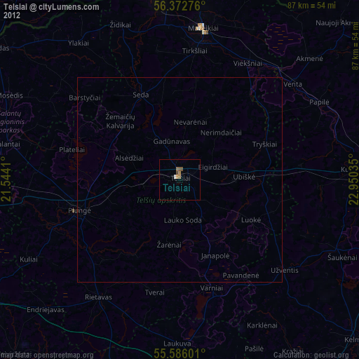
Telsiai night lights from space
Night Light of Telsiai from space (Lithuania) Src. Average luminocity for 10x10km area is 2.4825% and for 50x50km: 0.1491%.
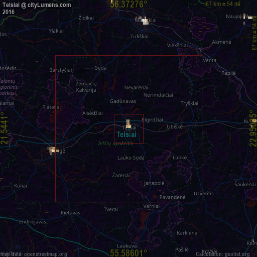
Analysis of Telsiai night lights 2016
Square area 10x10 km:
 0%
0%90-99
0%80-89
0.13%70-79
1.38%60-69
1%50-59
0%40-49
0.5%30-39
0.5%20-29
0%10-19
0%0-9
96.49%Square area 50x50 km:
0%90-99
0%80-89
0%70-79
0.07%60-69
0.06%50-59
0%40-49
0.04%30-39
0.02%20-29
0.04%10-19
0%0-9
99.77%Clear (daylight) street map image can be seen on geolist.org.
Map coordinates:
56° 22' 21.9" North, 21° 32' 38.8" East
55° 58' 53" North, 22° 14' 50" East
55° 35' 9.6" North, 22° 57' 1.3" East
Some cities around Telsiai sort by population:
• Mazeikiai
37.7 km =23.4 mi,  8°
8°
• Plunge
26.3 km =16.3 mi,  252°
252°
• Kuršėnai
42.9 km =26.7 mi,  86°
86°
• Naujoji Akmene
55 km =34.2 mi,  47°
47°
• Kelmė
58.1 km =36.1 mi,  132°
132°
• Skuodas
54.8 km =34.1 mi,  305°
305°
• Šilalė
54.8 km =34.1 mi,  183°
183°
• Vaiņode, LV
54.3 km =33.7 mi,  333°
333°
593926 (p: 30,098)
Sources (retrieved 2019-11-25):
» Earth at Night: Flat Maps 2012, 2016