Šilalė night lights from space
Night Light of Šilalė (Tauragė County) from space (Lithuania) Src. Average luminocity for 10x10km area is 0% and for 50x50km: 0.0055%.
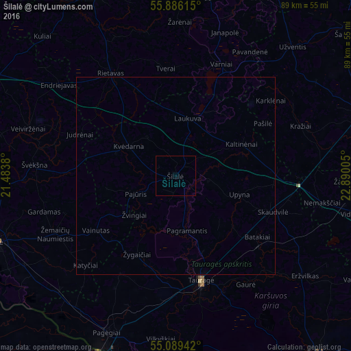
Analysis of Šilalė night lights 2016
Square area 10x10 km:
 0%
0%90-99
0%80-89
0%70-79
0%60-69
0%50-59
0%40-49
0%30-39
0%20-29
0%10-19
0%0-9
100%Square area 50x50 km:
0%90-99
0%80-89
0%70-79
0%60-69
0%50-59
0%40-49
0%30-39
0%20-29
0%10-19
0%0-9
100%Clear (daylight) street map image can be seen on geolist.org.
Map coordinates:
55° 53' 10.1" North, 21° 29' 1.7" East
55° 29' 23.3" North, 22° 11' 12.9" East
55° 5' 21.9" North, 22° 53' 24.2" East
Some cities around Šilalė sort by population:
• Sovetsk, RU
49.2 km =30.6 mi,  203°
203°
• Telsiai
54.8 km =34.1 mi,  3°
3°
• Taurage
27.2 km =16.9 mi,  166°
166°
• Plunge
51.6 km =32.1 mi,  335°
335°
• Silute
47.1 km =29.3 mi,  250°
250°
• Gargždai
55.5 km =34.5 mi,  296°
296°
• Neman, RU
52 km =32.3 mi,  191°
191°
• Kelmė
49.6 km =30.8 mi,  71°
71°
594693 (p: 6,026)
Sources (retrieved 2019-11-25):
» Earth at Night: Flat Maps 2012, 2016