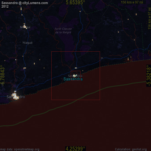
Sassandra night lights from space
Night Light of Sassandra (Bas-Sassandra) from space (Ivory Coast) Src. Average luminocity for 10x10km area is 3.8409% and for 50x50km: 0.2052%.
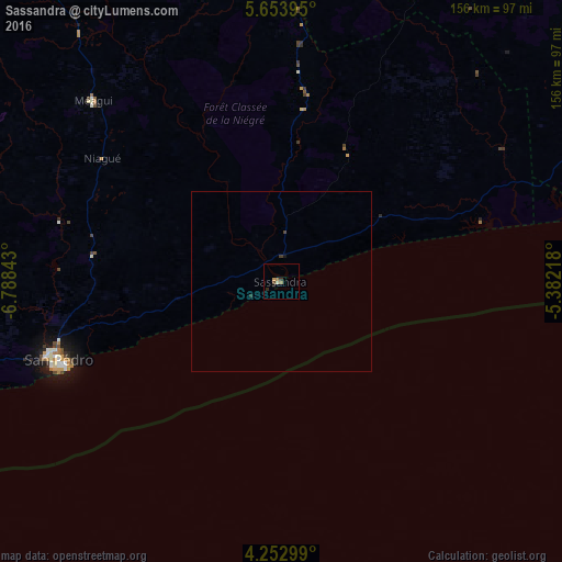
Analysis of Sassandra night lights 2016
Square area 10x10 km:
 0%
0%90-99
0.83%80-89
0%70-79
0.83%60-69
1.24%50-59
0.41%40-49
0.83%30-39
0.83%20-29
0.83%10-19
0.83%0-9
93.39%Square area 50x50 km:
0%90-99
0.03%80-89
0%70-79
0.03%60-69
0.05%50-59
0.02%40-49
0.06%30-39
0.08%20-29
0.07%10-19
0.07%0-9
99.59%Clear (daylight) street map image can be seen on geolist.org.
Map coordinates:
5° 39' 14.2" North, 6° 47' 18.3" West
4° 57' 13.8" North, 6° 5' 7.1" West
4° 15' 10.8" North, 5° 22' 55.8" West
Some cities around Sassandra sort by population:
• San-Pédro
65.2 km =40.5 mi,  249°
249°
• Divo
127.1 km =79 mi,  39°
39°
• Gagnoa
131.8 km =81.9 mi,  6°
6°
• Lakota
108.9 km =67.7 mi,  24°
24°
• Tiassalé
174.8 km =108.6 mi,  53°
53°
• Tabou
152.4 km =94.7 mi, 247°
• Guibéroua
143.2 km =89 mi,  356°
356°
• Grand-Lahou
124.3 km =77.2 mi,  74°
74°
2281951 (p: 23,274)
Sources (retrieved 2019-11-25):
» Earth at Night: Flat Maps 2012, 2016