San-Pédro night lights from space
Night Light of San-Pédro (Bas-Sassandra) from space (Ivory Coast) Src. Average luminocity for 10x10km area is 40.2355% and for 50x50km: 2.1222%.
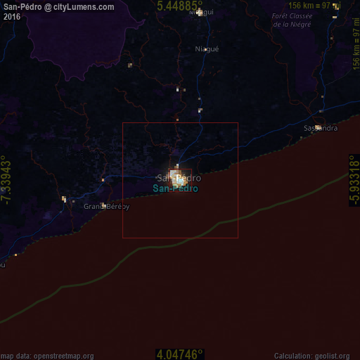
Analysis of San-Pédro night lights 2016
Square area 10x10 km:
 4.55%
4.55%90-99
10.33%80-89
4.13%70-79
7.44%60-69
8.88%50-59
1.45%40-49
5.58%30-39
2.69%20-29
4.55%10-19
34.5%0-9
15.91%Square area 50x50 km:
0.19%90-99
0.46%80-89
0.17%70-79
0.33%60-69
0.38%50-59
0.06%40-49
0.33%30-39
0.11%20-29
0.27%10-19
2.29%0-9
95.4%Clear (daylight) street map image can be seen on geolist.org.
Map coordinates:
5° 26' 55.9" North, 7° 20' 21.9" West
4° 44' 54.6" North, 6° 38' 10.7" West
4° 2' 50.9" North, 5° 55' 59.4" West
Some cities around San-Pédro sort by population:
• Gagnoa
171.5 km =106.6 mi,  26°
26°
• Lakota
161.5 km =100.4 mi,  40°
40°
• Harper, LR
126 km =78.3 mi,  250°
250°
• Sassandra
65.2 km =40.5 mi,  69°
69°
• Tabou
87.3 km =54.2 mi, 245°
• Guibéroua
173.5 km =107.8 mi,  17°
17°
• Fish Town, LR
146.1 km =90.8 mi,  289°
289°
• Barclayville, LR
177.1 km =110 mi,  267°
267°
2282006 (p: 196,751)
Sources (retrieved 2019-11-25):
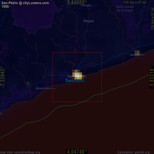
» NASA, Earths city lights 1995
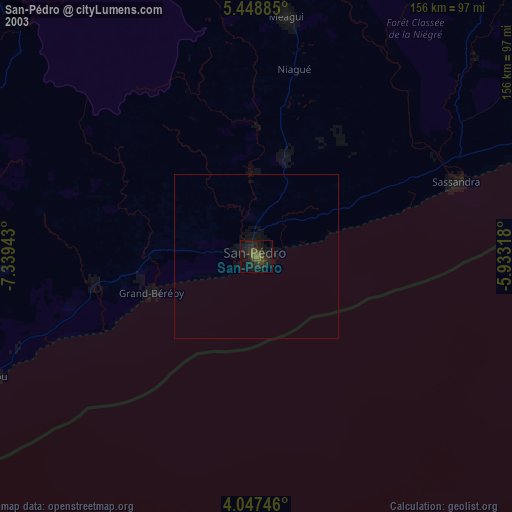
» NASA city lights 2003
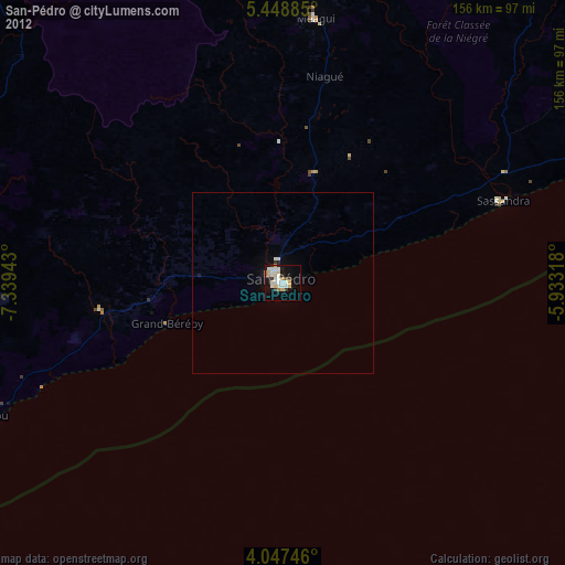
» Earth at Night: Flat Maps 2012, 2016