Tangalle night lights from space
Night Light of Tangalle (Southern) from space (Sri Lanka) Src. Average luminocity for 10x10km area is 0.6839% and for 50x50km: 0.4168%.
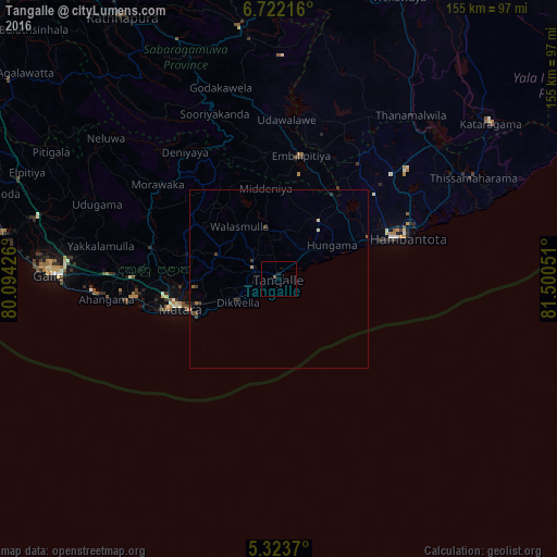
Analysis of Tangalle night lights 2016
Square area 10x10 km:
 0%
0%90-99
0%80-89
0%70-79
0%60-69
0%50-59
0.83%40-49
0%30-39
0%20-29
0%10-19
0.83%0-9
98.35%Square area 50x50 km:
0%90-99
0.01%80-89
0.07%70-79
0.03%60-69
0.05%50-59
0.09%40-49
0.18%30-39
0.15%20-29
0.07%10-19
0.11%0-9
99.25%Clear (daylight) street map image can be seen on geolist.org.
Map coordinates:
6° 43' 19.8" North, 80° 5' 39.3" East
6° 1' 24.2" North, 80° 47' 50.6" East
5° 19' 25.3" North, 81° 30' 1.8" East
Some cities around Tangalle sort by population:
• Galle
65 km =40.4 mi,  272°
272°
• Matara
30.2 km =18.8 mi,  253°
253°
• Ratnapura
85.5 km =53.1 mi,  329°
329°
• Devinuwara
25.4 km =15.8 mi, 245°
• Weligama
41 km =25.5 mi,  262°
262°
• Kataragama
73.5 km =45.7 mi,  53°
53°
• Ambalangoda
85.5 km =53.1 mi,  286°
286°
• Wellawaya
86.2 km =53.6 mi,  23°
23°
1227037 (p: 10,497)
Sources (retrieved 2019-11-25):
» Earth at Night: Flat Maps 2012, 2016