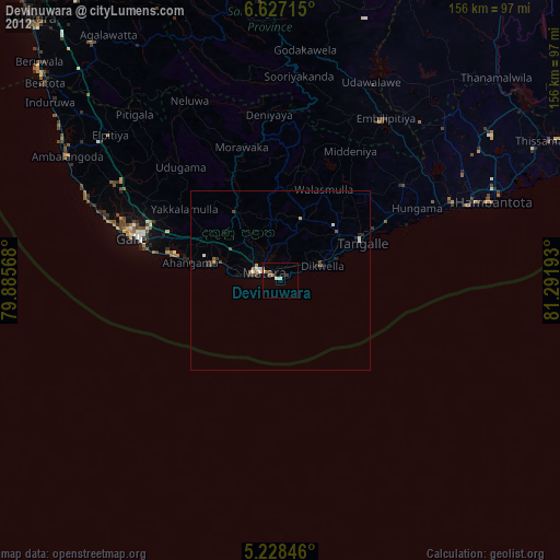
Devinuwara night lights from space
Night Light of Devinuwara (Southern) from space (Sri Lanka) Src. Average luminocity for 10x10km area is 8.1736% and for 50x50km: 1.5835%.
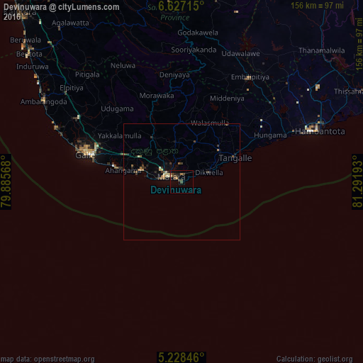
Analysis of Devinuwara night lights 2016
Square area 10x10 km:
 0%
0%90-99
0.41%80-89
0.62%70-79
1.45%60-69
0.83%50-59
1.03%40-49
5.17%30-39
1.24%20-29
1.03%10-19
3.1%0-9
85.12%Square area 50x50 km:
0%90-99
0.19%80-89
0.16%70-79
0.15%60-69
0.25%50-59
0.32%40-49
0.33%30-39
0.43%20-29
0.34%10-19
0.63%0-9
97.2%Clear (daylight) street map image can be seen on geolist.org.
Map coordinates:
6° 37' 37.7" North, 79° 53' 8.4" East
5° 55' 41.7" North, 80° 35' 19.7" East
5° 13' 42.5" North, 81° 17' 30.9" East
Some cities around Devinuwara sort by population:
• Galle
43.9 km =27.3 mi,  287°
287°
• Matara
6.3 km =3.9 mi, 290°
• Ratnapura
86.7 km =53.9 mi,  346°
346°
• Bentota
85.8 km =53.3 mi,  310°
310°
• Weligama
18.3 km =11.4 mi, 286°
• Ambalangoda
68.3 km =42.4 mi,  300°
300°
• Tangalle
25.4 km =15.8 mi,  65°
65°
• Horawala Junction
79.9 km =49.6 mi,  320°
320°
1248158 (p: 45,000)
Sources (retrieved 2019-11-25):
» Earth at Night: Flat Maps 2012, 2016