Wellawaya night lights from space
Night Light of Wellawaya (Uva) from space (Sri Lanka) Src. Average luminocity for 10x10km area is 0.3333% and for 50x50km: 0.2728%.
Analysis of Wellawaya night lights 2016
Square area 10x10 km:
 0%
0%90-99
0%80-89
0%70-79
0%60-69
0%50-59
0%40-49
0%30-39
0%20-29
0.87%10-19
0%0-9
99.13%Square area 50x50 km:
0%90-99
0%80-89
0.01%70-79
0.06%60-69
0.07%50-59
0.03%40-49
0.1%30-39
0.1%20-29
0.13%10-19
0.1%0-9
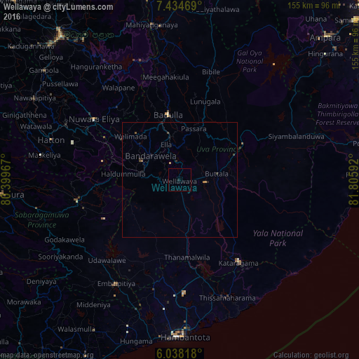
99.39%Clear (daylight) street map image can be seen on geolist.org.
Map coordinates:
7° 26' 4.9" North, 80° 23' 58.8" East
6° 44' 13" North, 81° 6' 10" East
6° 2' 17.4" North, 81° 48' 21.3" East
Some cities around Wellawaya sort by population:
• Ratnapura
77.4 km =48.1 mi,  265°
265°
• Badulla
27.5 km =17.1 mi,  349°
349°
• Nuwara Eliya
43.9 km =27.3 mi,  306°
306°
• Gampola
75.6 km =47 mi, 308°
• Kataragama
44.2 km =27.5 mi,  144°
144°
• Hatton
58.6 km =36.4 mi,  287°
287°
• Monaragala
31 km =19.3 mi,  61°
61°
• Wattegama
42.3 km =26.3 mi,  80°
80°
11126122 (p: 10,000)
Sources (retrieved 2019-11-25):
» Earth at Night: Flat Maps 2012, 2016