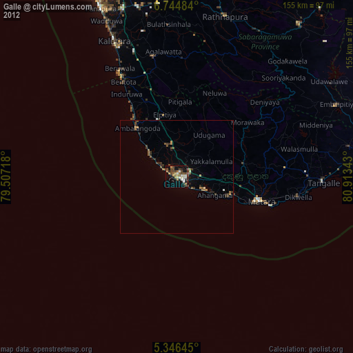
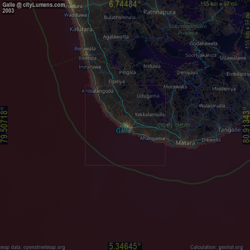
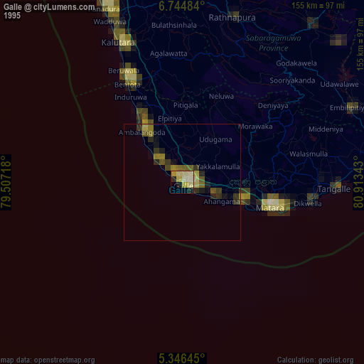
Galle night lights from space
Night Light of Galle (Southern) from space (Sri Lanka) Src. Average luminocity for 10x10km area is 28.1302% and for 50x50km: 2.5107%.
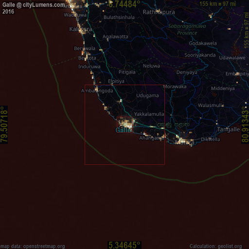
Analysis of Galle night lights 2016
Square area 10x10 km:
 0.83%
0.83%90-99
2.89%80-89
5.58%70-79
4.34%60-69
6.2%50-59
4.55%40-49
4.13%30-39
6.4%20-29
3.31%10-19
25%0-9
36.78%Square area 50x50 km:
0.06%90-99
0.25%80-89
0.31%70-79
0.27%60-69
0.51%50-59
0.43%40-49
0.37%30-39
0.74%20-29
0.45%10-19
1.78%0-9
94.84%Clear (daylight) street map image can be seen on geolist.org.
Map coordinates:
6° 44' 41.4" North, 79° 30' 25.8" East
6° 2' 46" North, 80° 12' 37.1" East
5° 20' 47.2" North, 80° 54' 48.3" East
Some cities around Galle sort by population:
• Matara
37.5 km =23.3 mi,  106°
106°
• Devinuwara
43.9 km =27.3 mi, 107°
• Bentota
48.4 km =30.1 mi,  330°
330°
• Beruwala
54.3 km =33.7 mi, 332°
• Weligama
25.5 km =15.8 mi, 108°
• Ambalangoda
27.3 km =17 mi,  320°
320°
• Tangalle
65 km =40.4 mi,  92°
92°
• Horawala Junction
49.2 km =30.6 mi,  349°
349°
1246294 (p: 93,118)
Sources (retrieved 2019-11-25):
» NASA, Earths city lights 1995
» NASA city lights 2003
» Earth at Night: Flat Maps 2012, 2016