Kataragama night lights from space
Night Light of Kataragama (Uva) from space (Sri Lanka) Src. Average luminocity for 10x10km area is 4.197% and for 50x50km: 0.3693%.
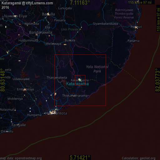
Analysis of Kataragama night lights 2016
Square area 10x10 km:
 0%
0%90-99
0.87%80-89
0.87%70-79
0%60-69
1.08%50-59
1.08%40-49
1.3%30-39
0.65%20-29
0.22%10-19
0%0-9
93.94%Square area 50x50 km:
0.02%90-99
0.05%80-89
0.07%70-79
0.01%60-69
0.14%50-59
0.04%40-49
0.06%30-39
0.08%20-29
0.09%10-19
0.03%0-9
99.41%Clear (daylight) street map image can be seen on geolist.org.
Map coordinates:
7° 6' 41.9" North, 80° 37' 53.3" East
6° 24' 48.2" North, 81° 20' 4.6" East
5° 42' 51.2" North, 82° 2' 15.8" East
Some cities around Kataragama sort by population:
• Badulla
70 km =43.5 mi,  334°
334°
• Devinuwara
98.5 km =61.2 mi,  236°
236°
• Nuwara Eliya
86.9 km =54 mi,  315°
315°
• Hatton
97.4 km =60.5 mi,  303°
303°
• Tangalle
73.5 km =45.7 mi,  233°
233°
• Monaragala
50.9 km =31.6 mi,  1°
1°
• Wellawaya
44.2 km =27.5 mi, 324°
• Wattegama
45.8 km =28.5 mi,  20°
20°
1241076 (p: 20,935)
Sources (retrieved 2019-11-25):
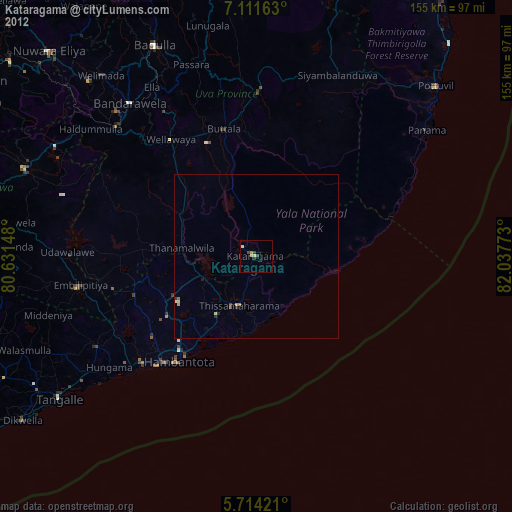
» Earth at Night: Flat Maps 2012, 2016