Point Pedro night lights from space
Night Light of Point Pedro (Northern Province) from space (Sri Lanka) Src. Average luminocity for 10x10km area is 10.1645% and for 50x50km: 2.4807%.
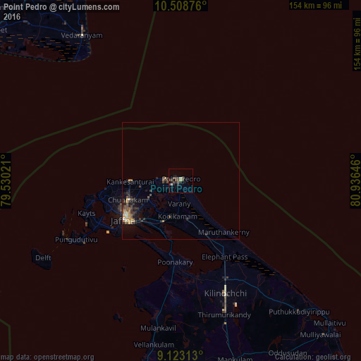
Analysis of Point Pedro night lights 2016
Square area 10x10 km:
 0%
0%90-99
1.73%80-89
0.87%70-79
0%60-69
0%50-59
2.16%40-49
5.41%30-39
4.11%20-29
2.81%10-19
4.11%0-9
78.79%Square area 50x50 km:
0.05%90-99
0.27%80-89
0.3%70-79
0.37%60-69
0.28%50-59
0.31%40-49
0.76%30-39
0.89%20-29
0.67%10-19
1.54%0-9
94.57%Clear (daylight) street map image can be seen on geolist.org.
Map coordinates:
10° 30' 31.5" North, 79° 31' 48.8" East
9° 49' 0" North, 80° 13' 60" East
9° 7' 23.3" North, 80° 56' 11.3" East
Some cities around Point Pedro sort by population:
• Jaffna
29.7 km =18.5 mi,  236°
236°
• Negapatam, IN
113.6 km =70.6 mi,  337°
337°
• Valvedditturai
7.3 km =4.5 mi,  270°
270°
• Vedaraniyam, IN
74.6 km =46.4 mi,  325°
325°
• Adirampattinam, IN
110.2 km =68.5 mi,  301°
301°
• Muttupet, IN
103.4 km =64.2 mi,  308°
308°
• Kilinochchi
50.1 km =31.1 mi,  158°
158°
• Velankanni, IN
105.8 km =65.7 mi, 335°
1229989 (p: 89,810)
Sources (retrieved 2019-11-25):
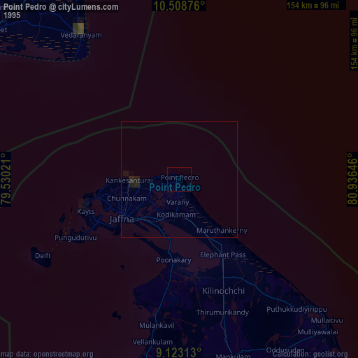
» NASA, Earths city lights 1995
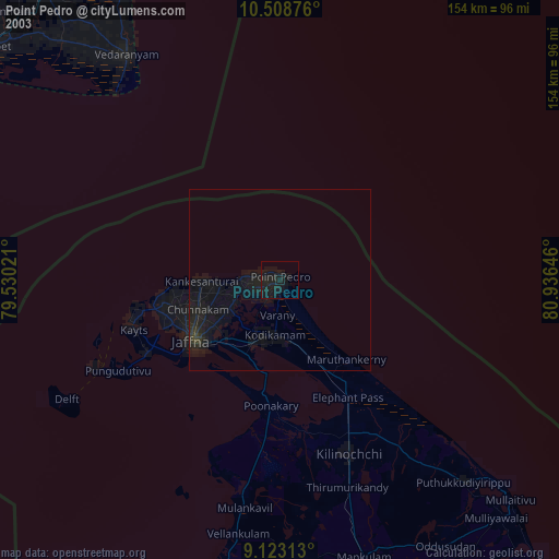
» NASA city lights 2003
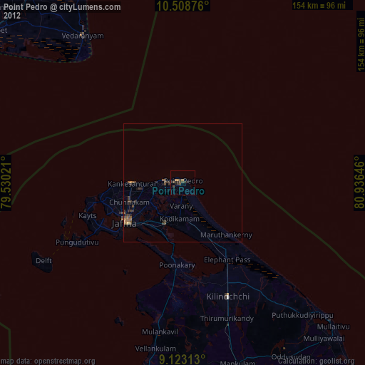
» Earth at Night: Flat Maps 2012, 2016