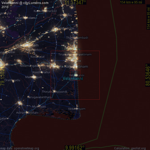
Velankanni night lights from space
Night Light of Velankanni (Tamil Nadu) from space (India) Src. Average luminocity for 10x10km area is 8.7645% and for 50x50km: 7.6805%.
Analysis of Velankanni night lights 2016
Square area 10x10 km:
 0%
0%90-99
0.83%80-89
1.65%70-79
0.83%60-69
0%50-59
0.83%40-49
1.45%30-39
3.1%20-29
3.72%10-19
6.2%0-9
81.4%Square area 50x50 km:
0.08%90-99
1.36%80-89
1.27%70-79
1.14%60-69
0.63%50-59
1.17%40-49
1.88%30-39
1.32%20-29
3.07%10-19
5.28%0-9
82.79%Clear (daylight) street map image can be seen on geolist.org.
Map coordinates:
11° 22' 24.5" North, 79° 7' 48.8" East
10° 40' 60" North, 79° 49' 60" East
9° 59' 29.8" North, 80° 32' 11.3" East
Some cities around Velankanni sort by population:
• Negapatam
9 km =5.6 mi,  6°
6°
• Kāraikāl
25.9 km =16.1 mi,  0°
0°
• Thiruvarur
23.7 km =14.7 mi,  294°
294°
• Vedaraniyam
34.7 km =21.6 mi,  176°
176°
• Koothanallur
34.9 km =21.7 mi,  276°
276°
• Tharangambadi
38.4 km =23.9 mi, 3°
• Nannilam
32.7 km =20.3 mi,  311°
311°
• Kilvelur
13.7 km =8.5 mi, 313°
1253308 (p: 10,000)
Sources (retrieved 2019-11-25):
» Earth at Night: Flat Maps 2012, 2016