Adirampattinam night lights from space
Night Light of Adirampattinam (Tamil Nadu) from space (India) Src. Average luminocity for 10x10km area is 4.1322% and for 50x50km: 1.3832%.

Analysis of Adirampattinam night lights 2016
Square area 10x10 km:
 0%
0%90-99
0%80-89
1.24%70-79
0.41%60-69
0.83%50-59
0.83%40-49
0.83%30-39
0%20-29
0.83%10-19
2.07%0-9
92.98%Square area 50x50 km:
0.04%90-99
0.09%80-89
0.2%70-79
0.15%60-69
0.13%50-59
0.13%40-49
0.34%30-39
0.48%20-29
0.56%10-19
0.54%0-9
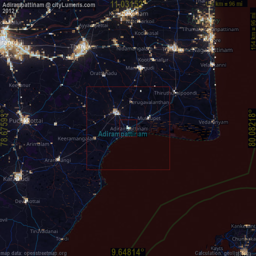
97.34%Clear (daylight) street map image can be seen on geolist.org.
Map coordinates:
11° 1' 53.5" North, 78° 40' 33.3" East
10° 20' 26.1" North, 79° 22' 44.6" East
9° 38' 53.3" North, 80° 4' 55.8" East
Some cities around Adirampattinam sort by population:
• Pattukkottai
11.3 km =7 mi,  324°
324°
• Mannargudi
37 km =23 mi,  12°
12°
• Koothanallur
44.7 km =27.8 mi,  19°
19°
• Peravurani
20.2 km =12.6 mi,  253°
253°
• Muttupet
13.9 km =8.6 mi,  64°
64°
• Madukkūr
15.8 km =9.8 mi, 8°
• Karambakkudi
29.2 km =18.1 mi,  296°
296°
• Ālangudi
43.2 km =26.8 mi,  272°
272°
1278204 (p: 27,909)
Sources (retrieved 2019-11-25):
» Earth at Night: Flat Maps 2012, 2016