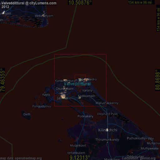
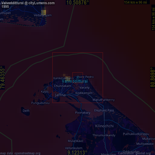
Valvedditturai night lights from space
Night Light of Valvedditturai (Northern Province) from space (Sri Lanka) Src. Average luminocity for 10x10km area is 7.8874% and for 50x50km: 2.8273%.
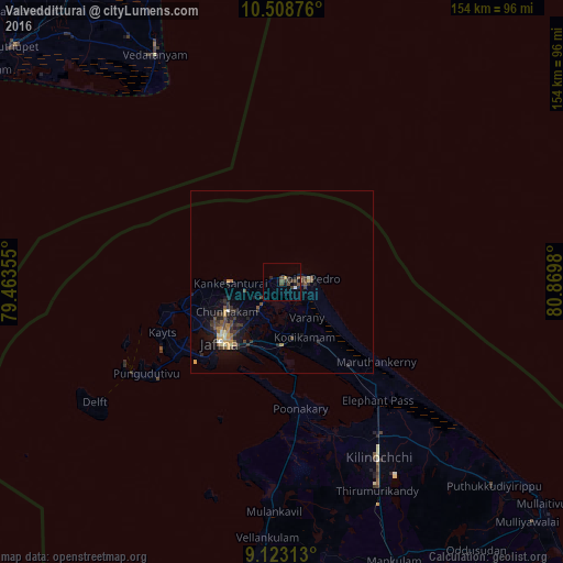

Analysis of Valvedditturai night lights 2016
Square area 10x10 km:
 0%
0%90-99
0.87%80-89
0%70-79
0.65%60-69
0.22%50-59
0.22%40-49
4.98%30-39
4.33%20-29
3.25%10-19
3.03%0-9
82.47%Square area 50x50 km:
0.05%90-99
0.27%80-89
0.32%70-79
0.38%60-69
0.28%50-59
0.33%40-49
0.83%30-39
0.99%20-29
0.83%10-19
2.14%0-9
93.57%Clear (daylight) street map image can be seen on geolist.org.
Map coordinates:
10° 30' 31.5" North, 79° 27' 48.8" East
9° 49' 0" North, 80° 10' 0" East
9° 7' 23.3" North, 80° 52' 11.3" East
Some cities around Valvedditturai sort by population:
• Jaffna
24 km =14.9 mi,  226°
226°
• Point Pedro
7.3 km =4.5 mi,  90°
90°
• Rameswaram, IN
110.5 km =68.7 mi,  237°
237°
• Vedaraniyam, IN
70.8 km =44 mi,  330°
330°
• Adirampattinam, IN
104.1 km =64.7 mi,  304°
304°
• Muttupet, IN
97.8 km =60.8 mi,  311°
311°
• Kilinochchi
53.2 km =33.1 mi,  151°
151°
• Velankanni, IN
103 km =64 mi,  339°
339°
1225142 (p: 78,205)
Sources (retrieved 2019-11-25):
» NASA, Earths city lights 1995
» NASA city lights 2003
» Earth at Night: Flat Maps 2012, 2016