Vedaraniyam night lights from space
Night Light of Vedaraniyam (Tamil Nadu) from space (India) Src. Average luminocity for 10x10km area is 3.5806% and for 50x50km: 0.379%.
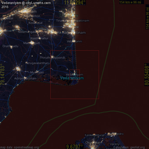
Analysis of Vedaraniyam night lights 2016
Square area 10x10 km:
 0%
0%90-99
0.21%80-89
0.62%70-79
0%60-69
0.62%50-59
0.21%40-49
0.21%30-39
3.93%20-29
0.83%10-19
2.07%0-9
91.32%Square area 50x50 km:
0%90-99
0.04%80-89
0.05%70-79
0.01%60-69
0.03%50-59
0.03%40-49
0.12%30-39
0.26%20-29
0.13%10-19
0.24%0-9
99.09%Clear (daylight) street map image can be seen on geolist.org.
Map coordinates:
11° 3' 46.6" North, 79° 8' 52.2" East
10° 22' 19.5" North, 79° 51' 3.4" East
9° 40' 46.9" North, 80° 33' 14.7" East
Some cities around Vedaraniyam sort by population:
• Negapatam
43.6 km =27.1 mi,  358°
358°
• Thiruvarur
50.3 km =31.3 mi,  332°
332°
• Adirampattinam
51.7 km =32.1 mi,  266°
266°
• Koothanallur
53.3 km =33.1 mi,  316°
316°
• Muttupet
39.2 km =24.4 mi, 273°
• Madukkūr
50.8 km =31.6 mi,  283°
283°
• Velankanni
34.7 km =21.6 mi, 356°
• Kilvelur
45.5 km =28.3 mi,  344°
344°
1253330 (p: 32,245)
Sources (retrieved 2019-11-25):
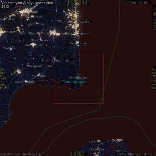
» Earth at Night: Flat Maps 2012, 2016