Horana South night lights from space
Night Light of Horana South (Western) from space (Sri Lanka) Src. Average luminocity for 10x10km area is 6.5887% and for 50x50km: 15.7612%.
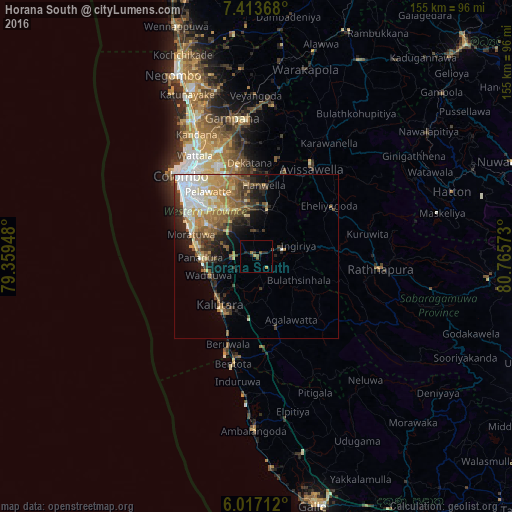
Analysis of Horana South night lights 2016
Square area 10x10 km:
 0%
0%90-99
0%80-89
0%70-79
1.95%60-69
0.87%50-59
2.16%40-49
0.65%30-39
1.08%20-29
2.38%10-19
2.6%0-9
88.31%Square area 50x50 km:
2.47%90-99
2.43%80-89
1.98%70-79
2.57%60-69
2.91%50-59
2.86%40-49
2.19%30-39
2.41%20-29
3.18%10-19
4.79%0-9
72.22%Clear (daylight) street map image can be seen on geolist.org.
Map coordinates:
7° 24' 49.2" North, 79° 21' 34.1" East
6° 42' 57.2" North, 80° 3' 45.4" East
6° 1' 1.6" North, 80° 45' 56.6" East
Some cities around Horana South sort by population:
• Dehiwala-Mount Lavinia
25.3 km =15.7 mi,  303°
303°
• Moratuwa
21 km =13 mi,  287°
287°
• Sri Jayewardenepura Kotte
25.3 km =15.7 mi,  317°
317°
• Maharagama
21 km =13 mi,  314°
314°
• Kalutara
18.7 km =11.6 mi,  217°
217°
• Homagama
15.7 km =9.8 mi,  334°
334°
• Panadura
17.7 km =11 mi,  269°
269°
• Hanwella Ihala
20.8 km =12.9 mi,  6°
6°
1243867 (p: 8,982)
Sources (retrieved 2019-11-25):
» Earth at Night: Flat Maps 2012, 2016