Dehiwala-Mount Lavinia night lights from space
Night Light of Dehiwala-Mount Lavinia (Western) from space (Sri Lanka) Src. Average luminocity for 10x10km area is 64.8225% and for 50x50km: 24.495%.
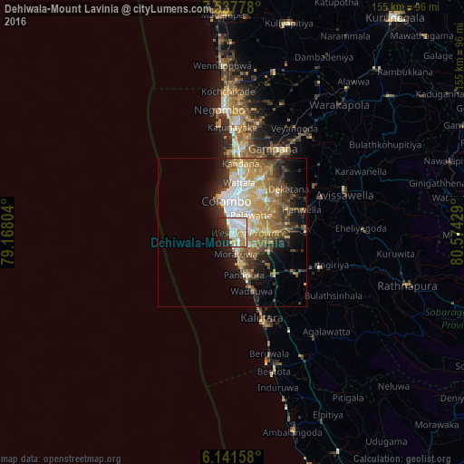
Analysis of Dehiwala-Mount Lavinia night lights 2016
Square area 10x10 km:
 22.51%
90-99
20.35%80-89
4.33%70-79
7.58%60-69
5.63%50-59
0.87%40-49
2.38%30-39
5.84%20-29
17.53%10-19
11.69%0-9
1.3%Square area 50x50 km:
4.12%90-99
4.27%80-89
3.17%70-79
3.99%60-69
4.54%50-59
3.85%40-49
3.3%30-39
3.49%20-29
4.72%10-19
7.91%0-9
56.65%Clear (daylight) street map image can be seen on geolist.org.
Map coordinates:
7° 32' 16" North, 79° 10' 4.9" East
6° 50' 24.7" North, 79° 52' 16.2" East
6° 8' 29.7" North, 80° 34' 27.4" East
Some cities around Dehiwala-Mount Lavinia sort by population:
• Colombo
10.9 km =6.8 mi,  346°
346°
• Moratuwa
7.6 km =4.7 mi,  171°
171°
• Pita Kotte
6.5 km =4 mi,  30°
30°
• Sri Jayewardenepura Kotte
6.2 km =3.9 mi,  39°
39°
• Battaramulla South
8.1 km =5 mi, 39°
• Maharagama
6.2 km =3.9 mi,  81°
81°
• Kotikawatta
10.5 km =6.5 mi,  23°
23°
• Kolonnawa
10.4 km =6.5 mi,  8°
8°
1234569 (p: 219,827)
Sources (retrieved 2019-11-25):
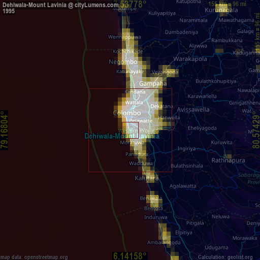
» NASA, Earths city lights 1995
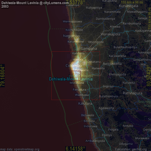
» NASA city lights 2003
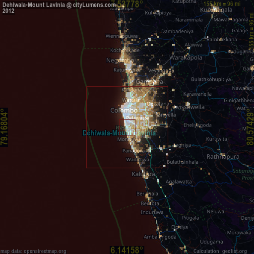
» Earth at Night: Flat Maps 2012, 2016