Homagama night lights from space
Night Light of Homagama (Western) from space (Sri Lanka) Src. Average luminocity for 10x10km area is 54.29% and for 50x50km: 25.2153%.
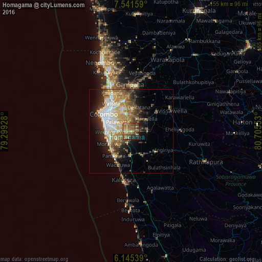
Analysis of Homagama night lights 2016
Square area 10x10 km:
 1.95%
1.95%90-99
1.52%80-89
8.66%70-79
11.47%60-69
15.8%50-59
22.08%40-49
14.29%30-39
8.01%20-29
11.26%10-19
4.98%0-9
0%Square area 50x50 km:
4.15%90-99
4.3%80-89
3.23%70-79
4.06%60-69
4.62%50-59
4.07%40-49
3.52%30-39
3.67%20-29
5.06%10-19
8.05%0-9
55.28%Clear (daylight) street map image can be seen on geolist.org.
Map coordinates:
7° 32' 29.7" North, 79° 17' 57.4" East
6° 50' 38.4" North, 80° 0' 8.6" East
6° 8' 43.4" North, 80° 42' 19.9" East
Some cities around Homagama sort by population:
• Dehiwala-Mount Lavinia
14.5 km =9 mi,  268°
268°
• Pita Kotte
12.3 km =7.6 mi,  294°
294°
• Sri Jayewardenepura Kotte
11.4 km =7.1 mi, 292°
• Battaramulla South
11 km =6.8 mi,  302°
302°
• Maharagama
8.4 km =5.2 mi, 273°
• Kotikawatta
13.8 km =8.6 mi,  311°
311°
• Mulleriyawa
12.7 km =7.9 mi,  320°
320°
• Hanwella Ihala
11.1 km =6.9 mi,  55°
55°
1243936 (p: 34,664)
Sources (retrieved 2019-11-25):
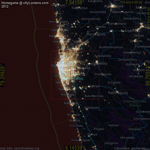
» Earth at Night: Flat Maps 2012, 2016