Moratuwa night lights from space
Night Light of Moratuwa (Western) from space (Sri Lanka) Src. Average luminocity for 10x10km area is 45.039% and for 50x50km: 20.9245%.
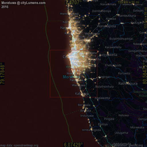
Analysis of Moratuwa night lights 2016
Square area 10x10 km:
 2.81%
2.81%90-99
6.71%80-89
8.66%70-79
7.58%60-69
10.17%50-59
10.39%40-49
4.33%30-39
5.41%20-29
15.15%10-19
19.91%0-9
8.87%Square area 50x50 km:
3.68%90-99
3.66%80-89
2.86%70-79
2.94%60-69
3.64%50-59
3.32%40-49
2.75%30-39
3.12%20-29
3.95%10-19
6.86%0-9
63.22%Clear (daylight) street map image can be seen on geolist.org.
Map coordinates:
7° 28' 14.5" North, 79° 10' 42.5" East
6° 46' 22.8" North, 79° 52' 53.8" East
6° 4' 27.4" North, 80° 35' 5" East
Some cities around Moratuwa sort by population:
• Dehiwala-Mount Lavinia
7.6 km =4.7 mi,  351°
351°
• Pita Kotte
13.2 km =8.2 mi,  9°
9°
• Sri Jayewardenepura Kotte
12.5 km =7.8 mi, 12°
• Battaramulla South
14.3 km =8.9 mi,  16°
16°
• Maharagama
9.7 km =6 mi,  30°
30°
• Kotikawatta
17.4 km =10.8 mi, 10°
• Homagama
15.5 km =9.6 mi,  59°
59°
• Panadura
7 km =4.3 mi,  160°
160°
1234633 (p: 185,031)
Sources (retrieved 2019-11-25):
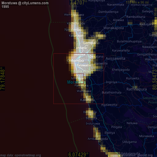
» NASA, Earths city lights 1995
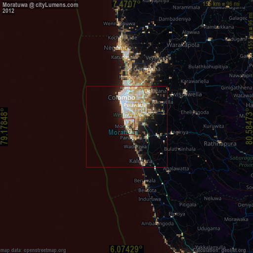
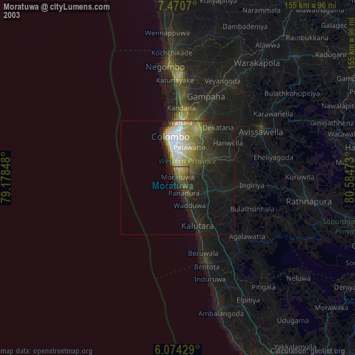
» NASA city lights 2003
» Earth at Night: Flat Maps 2012, 2016