Sri Jayewardenepura Kotte night lights from space
Night Light of Sri Jayewardenepura Kotte (Western) from space (Sri Lanka) Src. Average luminocity for 10x10km area is 93.8182% and for 50x50km: 27.118%.
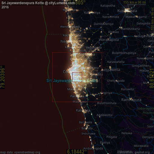
Analysis of Sri Jayewardenepura Kotte night lights 2016
Square area 10x10 km:
 37.01%
90-99
36.58%80-89
14.94%70-79
11.47%60-69
0%50-59
0%40-49
0%30-39
0%20-29
0%10-19
0%0-9
0%Square area 50x50 km:
4.24%90-99
4.66%80-89
3.53%70-79
4.34%60-69
5.06%50-59
4.66%40-49
4.02%30-39
3.81%20-29
5.51%10-19
8.58%0-9
51.59%Clear (daylight) street map image can be seen on geolist.org.
Map coordinates:
7° 34' 49.8" North, 79° 12' 14.3" East
6° 52' 58.7" North, 79° 54' 25.5" East
6° 11' 3.9" North, 80° 36' 36.8" East
Some cities around Sri Jayewardenepura Kotte sort by population:
• Dehiwala-Mount Lavinia
6.2 km =3.9 mi,  219°
219°
• Pita Kotte
1 km =0.6 mi,  323°
323°
• Battaramulla South
1.9 km =1.2 mi,  39°
39°
• Maharagama
4.4 km =2.7 mi,  151°
151°
• Kotikawatta
4.9 km =3 mi,  3°
3°
• Kolonnawa
6.1 km =3.8 mi,  336°
336°
• Mulleriyawa
6.1 km =3.8 mi,  24°
24°
• Kelaniya
8.2 km =5.1 mi,  11°
11°
1238992 (p: 115,826)
Sources (retrieved 2019-11-25):
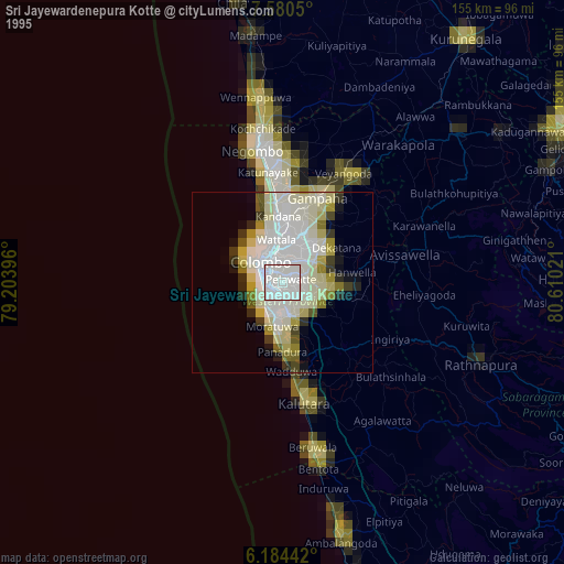
» NASA, Earths city lights 1995
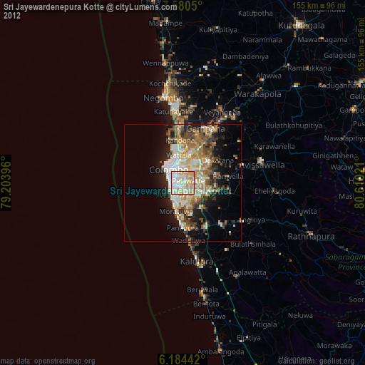
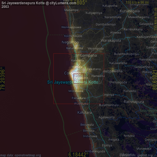
» NASA city lights 2003
» Earth at Night: Flat Maps 2012, 2016