Ghazieh night lights from space
Night Light of Ghazieh (South Governorate) from space (Lebanon) Src. Average luminocity for 10x10km area is 60.7161% and for 50x50km: 31.2741%.
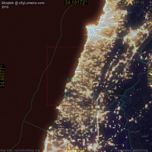
Analysis of Ghazieh night lights 2016
Square area 10x10 km:
 3.66%
3.66%90-99
8.24%80-89
21.06%70-79
15.2%60-69
8.42%50-59
13.19%40-49
5.68%30-39
1.28%20-29
12.64%10-19
9.52%0-9
1.1%Square area 50x50 km:
0.56%90-99
1.52%80-89
9.91%70-79
5.87%60-69
4.73%50-59
6.68%40-49
9.04%30-39
5.8%20-29
9.05%10-19
9.42%0-9
37.4%Clear (daylight) street map image can be seen on geolist.org.
Map coordinates:
34° 6' 6.2" North, 34° 39' 56.8" East
33° 31' 3" North, 35° 22' 8" East
32° 55' 45.5" North, 36° 4' 19.3" East
Some cities around Ghazieh sort by population:
• Beirut
43.6 km =27.1 mi,  16°
16°
• Ra’s Bayrūt
43.8 km =27.2 mi,  13°
13°
• Sidon
4.5 km =2.8 mi,  3°
3°
• Tyre
31.6 km =19.6 mi,  210°
210°
• Nabatîyé et Tahta
18.7 km =11.6 mi,  145°
145°
• Habboûch
16.1 km =10 mi,  139°
139°
• Qiryat Shemona, IL
39.3 km =24.4 mi, 151°
• Baabda
38.7 km =24 mi, 24°
280155 (p: 50,000)
Sources (retrieved 2019-11-25):
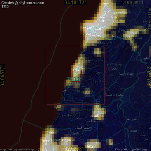
» NASA, Earths city lights 1995
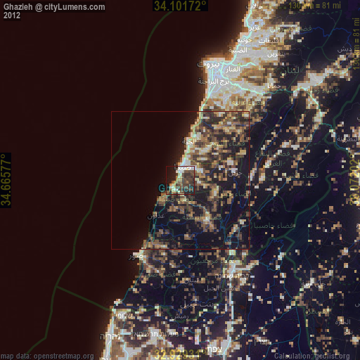
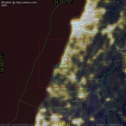
» NASA city lights 2003
» Earth at Night: Flat Maps 2012, 2016