Ush-Tyube night lights from space
Night Light of Ush-Tyube (Almaty Oblysy) from space (Kazakhstan) Src. Average luminocity for 10x10km area is 0.8045% and for 50x50km: 0.0328%.
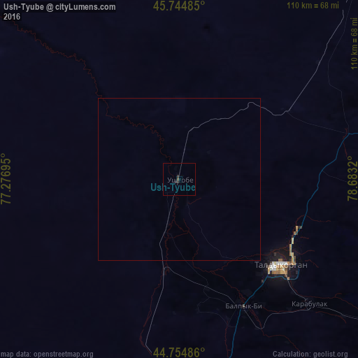
Analysis of Ush-Tyube night lights 2016
Square area 10x10 km:
 0%
0%90-99
0%80-89
0%70-79
0%60-69
0%50-59
0%40-49
0.61%30-39
0.45%20-29
1.36%10-19
0%0-9
97.58%Square area 50x50 km:
0%90-99
0%80-89
0%70-79
0%60-69
0%50-59
0%40-49
0.02%30-39
0.02%20-29
0.05%10-19
0%0-9
99.9%Clear (daylight) street map image can be seen on geolist.org.
Map coordinates:
45° 44' 41.5" North, 77° 16' 37" East
45° 15' 7.2" North, 77° 58' 48.3" East
44° 45' 17.5" North, 78° 40' 59.5" East
Some cities around Ush-Tyube sort by population:
• Taldykorgan
40.6 km =25.2 mi,  130°
130°
• Sarkand
152.3 km =94.6 mi,  83°
83°
• Kapshagay
170.3 km =105.8 mi,  205°
205°
• Tekeli
81.5 km =50.6 mi,  124°
124°
• Saryozek
99 km =61.5 mi,  180°
180°
• Balpyk Bī
43.6 km =27.1 mi,  153°
153°
• Bakanas
143 km =88.9 mi,  249°
249°
• Lepsy
132.5 km =82.3 mi,  34°
34°
1517637 (p: 20,492)
Sources (retrieved 2019-11-25):
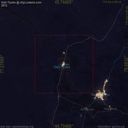
» Earth at Night: Flat Maps 2012, 2016