Lepsy night lights from space
Night Light of Lepsy (Almaty Oblysy) from space (Kazakhstan) Src. Average luminocity for 10x10km area is 0% and for 50x50km: 0%.
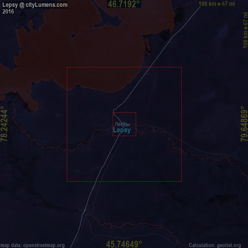
Analysis of Lepsy night lights 2016
Square area 10x10 km:
 0%
0%90-99
0%80-89
0%70-79
0%60-69
0%50-59
0%40-49
0%30-39
0%20-29
0%10-19
0%0-9
100%Square area 50x50 km:
0%90-99
0%80-89
0%70-79
0%60-69
0%50-59
0%40-49
0%30-39
0%20-29
0%10-19
0%0-9
100%Clear (daylight) street map image can be seen on geolist.org.
Map coordinates:
46° 43' 9.1" North, 78° 14' 32.8" East
46° 14' 6" North, 78° 56' 44" East
45° 44' 47.4" North, 79° 38' 55.3" East
Some cities around Lepsy sort by population:
• Taldykorgan
142.7 km =88.7 mi,  198°
198°
• Sarkand
118.5 km =73.6 mi,  140°
140°
• Ayagoz
222.9 km =138.5 mi,  30°
30°
• Tekeli
156.1 km =97 mi,  183°
183°
• Ush-Tyube
132.5 km =82.3 mi,  214°
214°
• Urzhar
225.9 km =140.4 mi,  65°
65°
• Saryozek
221.7 km =137.8 mi, 200°
• Balpyk Bī
158.3 km =98.4 mi, 200°
1521333 (p: 5,350)
Sources (retrieved 2019-11-25):
» Earth at Night: Flat Maps 2012, 2016