Kapshagay night lights from space
Night Light of Kapshagay (Almaty Oblysy) from space (Kazakhstan) Src. Average luminocity for 10x10km area is 14.3476% and for 50x50km: 0.9289%.
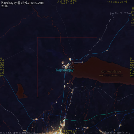
Analysis of Kapshagay night lights 2016
Square area 10x10 km:
 0.48%
0.48%90-99
1.43%80-89
0.63%70-79
1.9%60-69
4.44%50-59
2.38%40-49
3.49%30-39
3.33%20-29
1.75%10-19
3.02%0-9
77.14%Square area 50x50 km:
0.02%90-99
0.12%80-89
0.07%70-79
0.14%60-69
0.22%50-59
0.12%40-49
0.24%30-39
0.21%20-29
0.12%10-19
0.14%0-9
98.6%Clear (daylight) street map image can be seen on geolist.org.
Map coordinates:
44° 22' 17.7" North, 76° 21' 35.7" East
43° 52' 0.5" North, 77° 3' 46.9" East
43° 21' 27.9" North, 77° 45' 58.2" East
Some cities around Kapshagay sort by population:
• Almaty
68.7 km =42.7 mi,  189°
189°
• Talghar
64.3 km =40 mi,  167°
167°
• Esik
65 km =40.4 mi,  151°
151°
• Burunday
59.3 km =36.8 mi,  196°
196°
• Otegen Batyra
49.9 km =31 mi,  183°
183°
• Chemolgan
65 km =40.4 mi,  212°
212°
• Turgen
67.1 km =41.7 mi,  140°
140°
• Pervomayka
55.7 km =34.6 mi, 190°
1519948 (p: 42,167)
Sources (retrieved 2019-11-25):
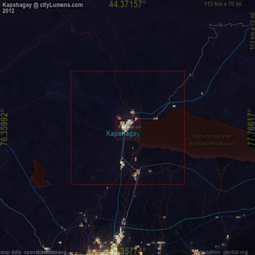
» Earth at Night: Flat Maps 2012, 2016