Bakanas night lights from space
Night Light of Bakanas (Almaty Oblysy) from space (Kazakhstan) Src. Average luminocity for 10x10km area is 0% and for 50x50km: 0%.
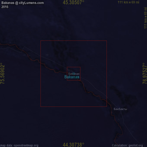
Analysis of Bakanas night lights 2016
Square area 10x10 km:
 0%
0%90-99
0%80-89
0%70-79
0%60-69
0%50-59
0%40-49
0%30-39
0%20-29
0%10-19
0%0-9
100%Square area 50x50 km:
0%90-99
0%80-89
0%70-79
0%60-69
0%50-59
0%40-49
0%30-39
0%20-29
0%10-19
0%0-9
100%Clear (daylight) street map image can be seen on geolist.org.
Map coordinates:
45° 18' 18.3" North, 75° 34' 8.5" East
44° 48' 30.2" North, 76° 16' 19.7" East
44° 18' 26.6" North, 76° 58' 31" East
Some cities around Bakanas sort by population:
• Taldykorgan
167.1 km =103.8 mi,  82°
82°
• Kapshagay
122.1 km =75.9 mi,  149°
149°
• Burunday
168.1 km =104.5 mi,  163°
163°
• Ush-Tyube
143 km =88.9 mi,  69°
69°
• Otegen Batyra
165.6 km =102.9 mi, 158°
• Saryozek
143.5 km =89.2 mi,  110°
110°
• Chemolgan
161.7 km =100.5 mi,  169°
169°
• Balpyk Bī
154.8 km =96.2 mi,  86°
86°
1525850 (p: 6,965)
Sources (retrieved 2019-11-25):
» Earth at Night: Flat Maps 2012, 2016