Kentau night lights from space
Night Light of Kentau (South Kazakhstan) from space (Kazakhstan) Src. Average luminocity for 10x10km area is 1.7556% and for 50x50km: 1.3941%.
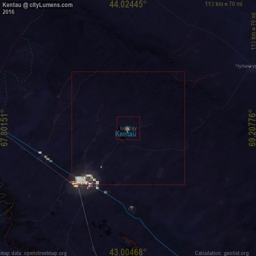

Analysis of Kentau night lights 2016
Square area 10x10 km:
 0%
0%90-99
0%80-89
0%70-79
0%60-69
0%50-59
0.63%40-49
1.9%30-39
0%20-29
0.95%10-19
0.95%0-9
95.56%Square area 50x50 km:
0.13%90-99
0.35%80-89
0.18%70-79
0.12%60-69
0.16%50-59
0.17%40-49
0.22%30-39
0.26%20-29
0.18%10-19
1.11%0-9
97.13%Clear (daylight) street map image can be seen on geolist.org.
Map coordinates:
44° 1' 28" North, 67° 48' 5.4" East
43° 31' 0.2" North, 68° 30' 16.7" East
43° 0' 16.8" North, 69° 12' 27.9" East
Some cities around Kentau sort by population:
• Turkestan
31.8 km =19.8 mi,  219°
219°
• Zhangatas
99.2 km =61.6 mi,  87°
87°
• Yanykurgan
110 km =68.4 mi,  293°
293°
• Temirlanovka
118.9 km =73.9 mi,  149°
149°
• Chulakkurgan
60.8 km =37.8 mi,  63°
63°
• Kantagi
6.4 km =4 mi,  78°
78°
• Chayan
88.9 km =55.2 mi,  127°
127°
• Ashchysay
32 km =19.9 mi, 82°
1522751 (p: 57,408)
Sources (retrieved 2019-11-25):
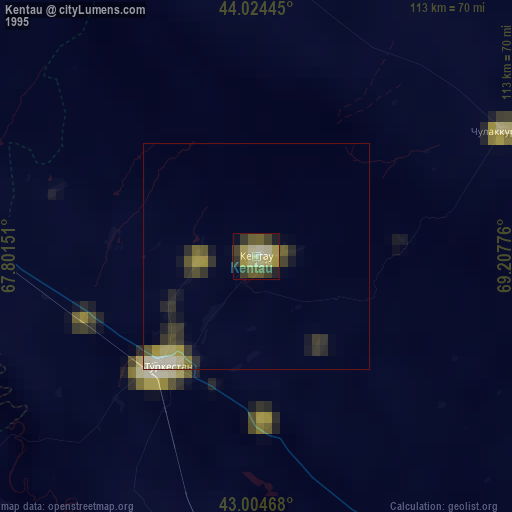
» NASA, Earths city lights 1995
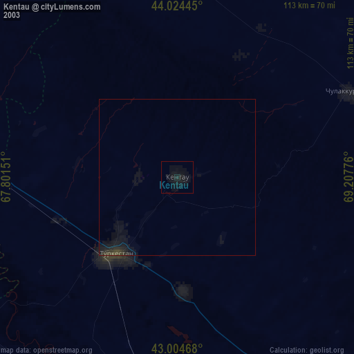
» NASA city lights 2003
» Earth at Night: Flat Maps 2012, 2016