Yanykurgan night lights from space
Night Light of Yanykurgan (Qyzylorda) from space (Kazakhstan) Src. Average luminocity for 10x10km area is 6.1063% and for 50x50km: 0.2674%.
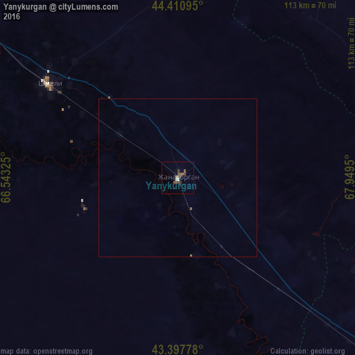
Analysis of Yanykurgan night lights 2016
Square area 10x10 km:
 0.48%
0.48%90-99
0.79%80-89
0%70-79
0.16%60-69
0.63%50-59
2.86%40-49
2.22%30-39
2.06%20-29
0.32%10-19
0.63%0-9
89.84%Square area 50x50 km:
0.02%90-99
0.03%80-89
0%70-79
0.01%60-69
0.04%50-59
0.14%40-49
0.09%30-39
0.08%20-29
0.01%10-19
0.02%0-9
99.56%Clear (daylight) street map image can be seen on geolist.org.
Map coordinates:
44° 24' 39.4" North, 66° 32' 35.7" East
43° 54' 23.5" North, 67° 14' 46.9" East
43° 23' 52" North, 67° 56' 58.2" East
Some cities around Yanykurgan sort by population:
• Kyzylorda
173.6 km =107.9 mi,  307°
307°
• Turkestan
105.6 km =65.6 mi,  129°
129°
• Kentau
110 km =68.4 mi,  113°
113°
• Shīeli
50 km =31.1 mi, 305°
• Tasböget
165.7 km =103 mi, 305°
• Chulakkurgan
155.8 km =96.8 mi,  95°
95°
• Kantagi
115.4 km =71.7 mi, 111°
• Ashchysay
138.4 km =86 mi, 106°
1517323 (p: 21,339)
Sources (retrieved 2019-11-25):
» Earth at Night: Flat Maps 2012, 2016